White Ridge Provincial Park: Difference between revisions
From Wikipedia, the free encyclopedia
m typo fixed |
added navbox |
||
| Line 27: | Line 27: | ||
==External links== |
==External links== |
||
* [http://www.env.gov.bc.ca/bcparks/explore/parkpgs/wht_ridg/ BC Parks - White Ridge Provincial Park] |
* [http://www.env.gov.bc.ca/bcparks/explore/parkpgs/wht_ridg/ BC Parks - White Ridge Provincial Park] |
||
{{British Columbia parks}} |
|||
[[Category:Provincial Parks of British Columbia]] |
[[Category:Provincial Parks of British Columbia]] |
||
Revision as of 03:34, 16 October 2019
This article is an orphan, as no other articles link to it. Please introduce links to this page from related articles; try the Find link tool for suggestions. (December 2010) |
| White Ridge Provincial Park | |
|---|---|
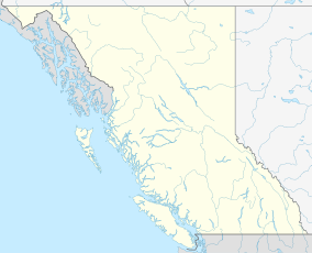
Location of White Ridge Provincial Park in British Columbia | |
| Location | British Columbia, Canada |
| Nearest city | Gold River |
| Coordinates | 49°46′42″N 125°58′25″W / 49.77833°N 125.97361°W / 49.77833; -125.97361 |
| Area | 1,343 ha (3,320 acres) |
| Governing body | BC Parks |
White Ridge Provincial Park is a provincial park in British Columbia, Canada, and is located 4 km east of Gold River on Vancouver Island.
Geography
Adjoined to Strathcona Provincial Park, White Ridge forms the backdrop for the town of Gold River. It got its name from the white limestone and karst topography of the area.
Recreation
Hiking and wilderness camping are permitted within park boundaries. There may also be potential for caving in the area.
This section needs expansion. You can help by adding to it. (June 2008) |
External links
This British Columbia protected areas related article is a stub. You can help Wikipedia by expanding it. |

