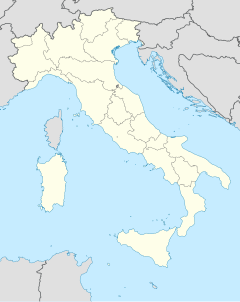
Gran Sasso and Monti della Laga National Park
| Parco nazionale Gran Sasso e Monti della Laga | ||
|---|---|---|
| The Campo Imperatore plateau forms part of the park | ||
|
|
||
| Location: | Abruzzo , Italy | |
| Next city: | L'Aquila | |
| Surface: | 1413.41 km² | |
| Founding: | 1991 | |
| Address: | Via Del Convento, 1 67010 Assergi (AQ) |
|
The National Park Gran Sasso and Monti della Laga ( Italian Parco Nazionale Gran Sasso e Monti della Laga ) in the Italian Abruzzo was in 1991 established. It extends over an area of 141,341 hectares, mostly mountainous area. With the Corno Grande , the highest peak of the Apennines lies within the park.
Access to the park
Access to the park is possible from Assergi and Colledara .
Parishes in the park
Web links
Commons : Gran Sasso and Monti della Laga National Park - Collection of images, videos and audio files
- Official website of the national park
- parks.it - Parco Nazionale del Gran Sasso e Monti della Laga (de, en, it)
- regione.abruzzo.it - Abruzzo Region (it)
- World Database on Protected Areas - Gran Sasso and Monti della Laga National Park (English)


