Upper Wiedtal
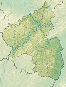
Coordinates: 50 ° 37 ′ 32 ″ N , 7 ° 46 ′ 46 ″ E
The Upper Wiedtal nature reserve is the largest nature reserve in the Westerwaldkreis in Rhineland-Palatinate .
The 204 hectare area, which was placed under nature protection in 2008 , extends southeast of the local community of Wied . To the west of the area runs the B 8 , to the east runs the state road L 292. The Wied flows through the area roughly in a north-south direction.
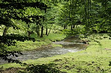
Protective purpose is the preservation and development of the upper reaches of Wied as semi-natural low mountain creek in the context of the existing, diverse, different in the area habitat types , such as sources , streams, ponds , wetlands , breakage, swelling and brook forests.
See also
Web links
Commons : Naturschutzgebiet Oberes Wiedtal - Collection of images, videos and audio files
- World Database on Protected Areas - Oberes Wiedtal (English)
- Ordinance on the nature reserve "Oberes Wiedtal" Westerwaldkreis dated 16.09.2008 (PDF) on naturschutz.rlp.de


