Slate Island, Massachusetts
| Slate Island | ||
|---|---|---|
| Waters | Boston Harbor , Atlantic Ocean | |
| Geographical location | 42 ° 16 '5.4 " N , 70 ° 54' 43.2" W | |
|
|
||
| surface | 5.1 ha | |
| Highest elevation | 9.8 m | |
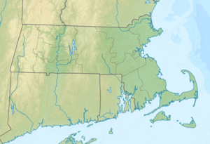
Slate Island is an island in Boston Harbor . It is located on Hingham Bay 10.5 mi (16.9 km ) from downtown Boston on the territory of the State of Massachusetts in the United States . Slate Island has an area of 12.7 acres (5.1 hectares ). The island belongs to Weymouth and is part of the Boston Harbor Islands National Recreation Area .
geography
geology
From a geological point of view, the island is an outcrop of shale ( English slate ), which is covered with boulder clay and reaches a height of up to 32 ft (9.8 m ). The coast is rocky and connected to Hingham by a mudflat at low tide .
Flora and fauna
Slate Island is densely overgrown with poison sumac as well as raspberry bushes and barberry and is therefore hardly accessible. The island's wildlife is still the subject of scientific research.
history
The Indians already lived on the island seasonally. European settlers mined slate there, and a hermit lived on Slate Island in the 19th century . The remains of a quarry are still preserved today. The island was privately owned until the 1970s.
Individual evidence
- ↑ a b c d Island Facts: Slate Island. National Park Service , accessed May 11, 2014 .
