Urfahr area
| location | |
|---|---|
| Basic data | |
| state | Upper Austria |
| NUTS III region | AT-312/313 |
| Administrative headquarters | Linz |
| surface | 660 km² |
| Residents | 86.005 (January 1, 2020) |
| Population density | 130 inhabitants / km² |
| License Plate | UU |
| District Commission | |
| District Captain | Paul Gruber |
| website |
bh-urfahr- umgebung.gv.at |
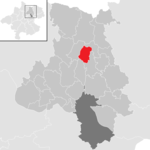
| map | |
The Urfahr-Umgebung district is a political district of the Province of Upper Austria .
It extends north of Linz to the Czech border and, according to the division of the districts, belongs to the Mühlviertel . The district administration is based in Linz-Urfahr , a district of Linz north of the Danube. Thus, Urfahr-Umgebung is one of the few districts in Austria that is not named directly after the seat of the district authority or statutory city .
history
The Urfahr district was formed in 1903 by separating areas from the Freistadt district (district court district Leonfelden) and the district Linz-Land (district court district Ottensheim and Urfahr). At that time Urfahr was still an independent town, but in 1919 Urfahr was incorporated into Linz. The district, which had thus lost its main town, was renamed Urfahr-Umgebung.
On January 1, 1958, the Ottensheim District Court was dissolved and the municipalities were assigned to the Urfahr District Court.
On January 1, 2013, the District Court of Leonfelden was dissolved and the communities were divided between the districts of the District Courts of Freistadt and Rohrbach. Since then there is no longer a district court in the district and three district courts are responsible for the district, whose seats are in three different political districts.
Today, the Urfahr-Umgebung district, which used to be almost exclusively agricultural, is one of the fastest growing districts in Austria due to the coveted residential area near the state capital Linz. There is almost no industry, the majority of the residents commute to Linz.
On January 1, 2018, the municipality of Schönegg ( Rohrbach district ) became part of the Vorderweissenbach municipality , and the former municipality became part of the Urfahr-Umgebung district.
Administrative division
The Urfahr-Umgebung district is divided into 27 communities , including three towns and twelve market communities.

- The population figures are from January 1st, 2020.
| local community | location | Ew | km² | Ew / km² | Judicial district | region | Type
|
photo | Metadata |
|---|---|---|---|---|---|---|---|---|---|
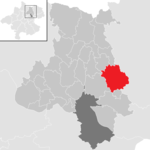
Alberndorf in the Riedmark
|
|
4,180 | 40.37 | 104 | Urfahr | local community
|

|
According to code: 41601 |
|
Altenberg near Linz
|

|
4,672 | 36.32 | 129 | Urfahr | market community
|
According to code: 41602 |
||
Bad Leonfelden
|

|
4,260 | 40.38 | 105 | Free City | urban community
|

|
According to code: 41603 |
|
Eidenberg
|

|
2.128 | 29.27 | 73 | Urfahr | local community
|
According to code: 41604 |
||
Engerwitzdorf
|

|
8,840 | 40.98 | 216 | Urfahr | local community
|

|
According to code: 41605 |
|
Feldkirchen on the Danube
|

|
5,395 | 39.4 | 137 | Urfahr | market community
|
According to code: 41606 |
||
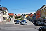
Gallneukirchen
|

|
6,567 | 5.19 | 1265 | Urfahr | urban community
|
|
Acc. To code: 41607 |
|
Goldwörth
|

|
813 | 10.82 | 75 | Urfahr | local community
|
Acc. To code: 41608 |
||
Gramastetten
|

|
5.114 | 40.23 | 127 | Urfahr | market community
|
Acc. To code: 41609 |
||
Haibach in the Mühlkreis
|

|
921 | 14.57 | 63 | Free City | local community
|
According to code: 41610 |
||
Hellmonsödt
|

|
2,325 | 18.08 | 129 | Urfahr | market community
|

|
According to code: 41611 |
|
Herzogsdorf
|

|
2,655 | 35.58 | 75 | Urfahr | market community
|
According to code: 41612 |
||
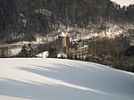
Kirchschlag near Linz
|

|
2,201 | 16.78 | 131 | Urfahr | local community
|
|
According to code: 41613 |
|
Lichtenberg
|

|
2,728 | 18.59 | 147 | Urfahr | local community
|
According to code: 41614 |
||
Oberneukirchen
|

|
3,196 | 34.64 | 92 | Rohrbach | market community
|
According to code: 41615 |
||
Ottenschlag in the Mühlkreis
|

|
561 | 13.14 | 43 | Free City | local community
|
According to code: 41616 |
||
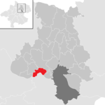
Ottensheim
|
|
4,738 | 11.73 | 404 | Urfahr | market community
|
According to code: 41617 |
||
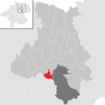
Puchenau
|
|
4,477 | 8.18 | 547 | Urfahr | local community
|

|
Acc. To code: 41618 |
|
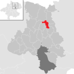
Reichenau in the Mühlkreis
|
|
1,323 | 9.57 | 138 | Free City | market community
|
According to code: 41619 |
||
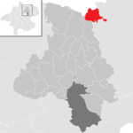
Reichenthal
|
|
1,491 | 18.89 | 79 | Free City | market community
|

|
According to code: 41620 |
|
Sankt Gotthard in the Mühlkreis
|

|
1,304 | 12.07 | 108 | Urfahr | local community
|

|
According to code: 41621 |
|
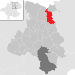
Schenkenfelden
|
|
1,579 | 25.87 | 61 | Free City | market community
|

|
According to code: 41622 |
|
Sonnberg in the Mühlkreis
|
|
1,019 | 12.6 | 81 | Urfahr | local community
|
According to code: 41623 |
||
Steyregg
|

|
4,932 | 32.96 | 150 | Urfahr | urban community
|

|
According to code: 41624 |
|
Vorderweissenbach
|

|
2,674 | 63.22 | 42 | Rohrbach | market community
|

|
According to code: 41628 |
|
Walding
|

|
4.158 | 15.32 | 271 | Urfahr | market community
|

|
Acc. To code: 41626 |
|
Zwettl on the Rodl
|

|
1,754 | 15.47 | 113 | Free City | market community
|
Acc. To code: 41627 |
Focus
The main area of the Urfahr-Umgebung district is in the cadastral municipality of Kirchschlag, municipality of Kirchschlag ( ⊙ ).
Population development
Data without the former municipality of Schönegg (= area status 2017).

Web links
Individual evidence
- ↑ 85. Ordinance of the Upper Austria. State government regarding the unification of the communities Schönegg and Vorderweißbach in the LGBl for Upper Austria, issued on November 30, 2017.
- ↑ Statistics Austria - Population at the beginning of 2002–2020 by municipalities (area status 01/01/2020)
- ↑ center point
Coordinates: 48 ° 24 ' N , 14 ° 18' E


