Beruri
| Beruri | ||
|---|---|---|
|
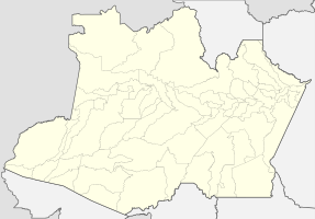
Coordinates: 3 ° 54 ′ S , 61 ° 22 ′ W Beruri on the map of the Amazon
|
||
| Basic data | ||
| Country | Brazil | |
| State | Amazon | |
| City foundation | December 10, 1981 | |
| Residents | 17,755 (2010) | |
| Detailed data | ||
| surface | 17,251 km 2 | |
| Population density | 1 inhabitant / km 2 | |
| Time zone | UTC −4 | |
| City Presidency | Maria Lucir Santos de Oliveira ( PSD ) (2017-2020) | |
| Central Amazon mesoregion | ||
| Location of Beruri in Amazon | ||
Beruri , officially Município de Beruri , is a Brazilian municipality in the state of Amazonas in the mesoregion Centro Amazonense (Central Amazonia) in the microregion Coari . Neighboring cities are Anamã , Anori , Caapiranga and Tapauá . The 4,200 hectare Terra Indígena Lago do Beruri territory of the indigenous people of the Ticuna is located in the municipality .
geography
location
The city is 173 km from the state capital ( Manaus ).
climate
The city has a tropical rainforest climate ( monsoon ), according to the effective climate classification of Köppen and Geiger Af . The annual average temperature is 26.9 ° C. About 2227 mm of precipitation falls annually. There is heavy rainfall during most months of the year. The dry season is short.
|
Climate in Beruri
Source: de.climate-data.org
|
|||||||||||||||||||||||||||||||||||||||||||||||||||||||||||||||||||||||||||||||||||||||||||||||||||||
Average Income and HDI
The median income in 2011 was 5,462 real and the human development index (HDI) was 0.506.


