Autazes
| Autazes | ||
|---|---|---|
|
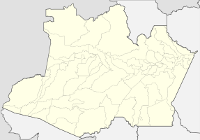
Coordinates: 3 ° 35 ′ S , 59 ° 8 ′ W Autazes on the Amazon map
|
||
| Basic data | ||
| Country | Brazil | |
| State | Amazon | |
| City foundation | December 19, 1955 | |
| Residents | 37,033 (2010) | |
| City insignia | ||
| Detailed data | ||
| surface | 7653 km 2 | |
| Population density | 5 people / km 2 | |
| Time zone | UTC −4 | |
| City Presidency | Andreson Adriano Oliveira Cavalcante (PROS) (2017-2020) | |
| Mesoregion Central-North | ||
| Landscape around Autazes | ||
| Location of Autazes in the state of Amazonas | ||
Autazes , officially Município de Autazes , is a city in the Brazilian state of Amazonas in the Central-Amazonas mesoregion in the Manaus microregion . The city is located southeast of Manaus, west of the Rio Madeira .
The Brazilian statistical office IBGE estimated the population as of July 1, 2019 at 39,565 inhabitants.
geography
location
The city is 108 km from the capital of the state ( Manaus ). Neighboring cities are Careiro and Careiro da Várzea (west), Itacoatiara (north), Nova Olinda do Norte (west) and Borba (south).
climate
The city has a tropical climate .
traffic
The state road AM-254 runs through the city .
Average Income and HDI
The median income in 2011 was 6,186 real and the human development index (HDI) was 0.577.
Web links
Commons : Autazes - collection of images, videos and audio files
Individual evidence
- ↑ IBGE : Autazes. Retrieved September 13, 2015 (Portuguese).
- ↑ IBGE : Cidades @ Amazonas: Autazes. Retrieved May 19, 2017 (Portuguese).
- ↑ Website of the Instituto Brasileiro de Geografia e Estatística , accessed on September 13, 2015


