Iranduba
| Iranduba | ||
|---|---|---|
|
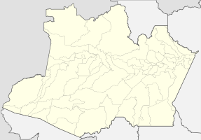
Coordinates: 3 ° 17 ′ S , 60 ° 11 ′ W Iranduba on the Amazon map
|
||
| Basic data | ||
| Country | Brazil | |
| State | Amazon | |
| City foundation | February 11, 1981 | |
| Residents | 45,984 (2010) | |
| City insignia | ||
| Detailed data | ||
| surface | 2215 km 2 | |
| Population density | 21 people / km 2 | |
| height | 92 m | |
| Time zone | UTC −4 | |
| Central Amazon mesoregion | ||
| View of the community | ||
| Location of Iranduba in Amazon | ||
| The bridge over the Rio Negro is the only land connection | ||
Iranduba , officially Município de Iranduba , is a Brazilian municipality in the state of Amazonas in the Mesoregion Central-Amazonas in the microregion Manaus . The city is located south of Manaus on the Rio Negro and belongs to the greater Manaus area . It is also called the city of chimneys (Cidade das chaminés). It is the 11th most populous city in the state of Amazonas.
geography
location
The city is 25 km from the state capital ( Manaus ). Neighboring cities are Manaus, Manacapuru and Novo Airão .
climate
The city has a tropical climate ( monsoon ).
traffic
The only land connection to the city is via the Manaus- Iranduba Bridge, the Ponte Rio Negro , a cable-stayed bridge that was completed in 2011 after three years of construction.
Average Income and HDI
The median income in 2011 was 8,178 real and the human development index (HDI) was 0.613.
Web links
Individual evidence
- ↑ IBGE : Iranduba. Retrieved September 20, 2015 (Portuguese).
- ↑ Website of the Instituto Brasileiro de Geografia e Estatística , accessed on September 20, 2015


