Riksväg 28
| Riksväg 28 in Sweden | |
| 28 | |
| map | |
| Basic data | |
| Operator: | |
| Overall length: | 95 km |
|
Length : |
|
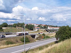
| The street in Karlskrona (2005) | |
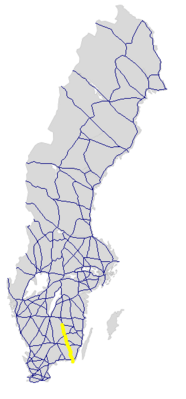
The Riksväg 28 is a Swedish highway in Blekinge , County Kalmar and Kronoberg County .
course
The road starts in Karlskrona , there is a short distance expanded freeway-like, crosses north of the city to Europaväg 22 and continues north across Rödeby and Holmsjö by Emmaboda , crosses Eriksmåla the Riksväg 25 , performs Kosta and finally ends on Riksväg 31 southeast by Lenhovda .
The length of the road is around 95 km.
history
The street has had the valid number since 1985.
Individual evidence
- ↑ Sverige vägatlas 2014, Norstedts, Stockholm. ISBN 978-91-1305683-8
Web links
Commons : Riksväg 28 - Collection of images, videos and audio files

