Riksväg 42
| Riksväg 42 in Sweden | |
| 42 | |
| map | |
| Basic data | |
| Operator: | |
| Overall length: | 99 km |
|
Length : |
|
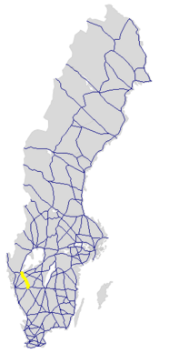
The Riksväg 42 is a Swedish highway in County Västergötlands .
course
The road leading from Trollhättan southeast over Sollebrunn where they from that of Göteborg coming Swedish county road 190 is crossed, and further via Vårgårda , where the Europaväg 20 crosses, and the branch of the Swedish county road 182 after Fristad . There it takes the Länsväg 183 coming from the north and continues south to Borås and ends at Riksväg 40, which has been developed like a motorway here .
The length of the road is around 99 km.
history
The street has had its current number since 1962.
Individual evidence
- ↑ Sverige vägatlas 2014, Norstedts, Stockholm. ISBN 978-91-1305683-8
