Tajná: Difference between revisions
Content deleted Content added
m Bot: Migrating 7 interwiki links, now provided by Wikidata on d:q1043779 (Report Errors) |
embed {{Authority control}} with Wikidata information |
||
| Line 20: | Line 20: | ||
{{coord|48|16|N|18|22|E|region:SK_type:city|display=title}} |
{{coord|48|16|N|18|22|E|region:SK_type:city|display=title}} |
||
{{Authority control}} |
|||
{{DEFAULTSORT:Tajna}} |
{{DEFAULTSORT:Tajna}} |
||
[[Category:Villages and municipalities in Nitra District]] |
[[Category:Villages and municipalities in Nitra District]] |
||
Revision as of 10:07, 8 October 2016

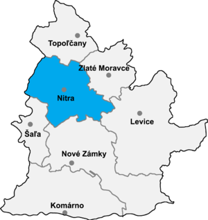
Tajná is a village and municipality in the Nitra District in western central Slovakia, in the Nitra Region.[1]
History
In historical records the village was first mentioned in 1075.
Geography
The village lies at an altitude of 174 metres and covers an area of 8.482km². It has a population of about 288 people.
Ethnicity
The population is about 98% Slovak and 2% Magyar.
