Tajná: Difference between revisions
Content deleted Content added
m r2.6.4) (robot Adding: nl:Tajná |
m →External links: +it |
||
| Line 25: | Line 25: | ||
[[fr:Tajná]] |
[[fr:Tajná]] |
||
[[hu:Tajnasári]] |
[[hu:Tajnasári]] |
||
[[it:Tajná]] |
|||
[[nl:Tajná]] |
[[nl:Tajná]] |
||
[[sk:Tajná]] |
[[sk:Tajná]] |
||
Revision as of 14:03, 3 July 2011

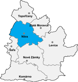
Tajná is a village and municipality in the Nitra District in western central Slovakia, in the Nitra Region.
History
In historical records the village was first mentioned in 1075.
Geography
The village lies at an altitude of 174 metres and covers an area of 8.482km². It has a population of about 288 people.
Ethnicity
The population is about 98% Slovak and 2% Magyar.
