Žirje
| Žirje | ||
|---|---|---|
| Satellite image of Žirje | ||
| Waters | the Adrian Sea | |
| Archipelago | Kornati islands | |
| Geographical location | 43 ° 40 ′ N , 15 ° 40 ′ E | |
|
|
||
| length | 11.8 km | |
| width | 2.5 km | |
| surface | 15.43 km² | |
| Highest elevation | Kapic 131 m |
|
| Residents | 103 (2011) 6.7 inhabitants / km² |
|
| main place | Žirje | |
| the Munabucht with the ferry pier | ||
Žirje is an island of Croatia in the Šibenik-Knin County . The island has 103 inhabitants (as of 2011), who live mainly from agriculture , fishing and tourism .
Geography and landscape
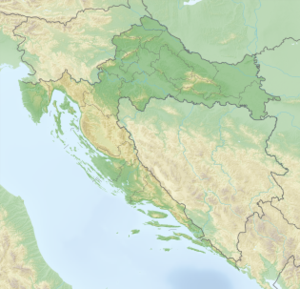
Žirje is one of the southernmost islands of the Kornati islands . It is located west of the coastal town of Šibenik and southwest of the island of Kaprije . To the west of Žirje is the small island of Samograd .
The island of Žirje, criss-crossed by two hills, is mainly overgrown with macchia .
history
The name is derived from the Croatian Žir (acorn). The island was probably covered by an oak forest in earlier times . As early as the 6th century, its wide position in the sea made it a guard post. In the 16th century, however, the facilities were completely destroyed by the Turks. Remains of the fortifications can still be discovered today.
Population development
| year | 1857 | 1880 | 1900 | 1910 | 1921 | 1931 | 1948 | 1953 | 1961 | 1971 | 1981 | 1991 | 2001 | 2011 |
| Residents | 341 | 453 | 534 | 661 | 780 | 686 | 766 | 720 | 506 | 336 | 209 | 160 | 124 | 103 |
traffic
The island can be reached by ship from Šibenik.


