Prvić (Krk)
| Prvić | ||
|---|---|---|
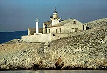
| Prvić island from Krk | ||
| Waters | Adriatic Sea , Kvarner | |
| Geographical location | 44 ° 54 '37 " N , 14 ° 47' 40" E | |
|
|
||
| length | 7.4 km | |
| surface | 12.76 km² | |
| Highest elevation | Šipovac 363 m |
|
| Residents | uninhabited | |
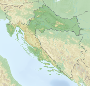
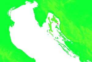
| Situation map | ||
Prvić is an island in the Adriatic Sea and part of the Kvarner . It is located in the Croatian Primorje-Gorski kotar County .
geography
Prvić is located between the two large islands of Krk and Rab . At the narrowest point of the Velebit Canal on the northern bank of the Velebit , the distance between the mainland and the island is four kilometers. About three kilometers south of Prvić is Goli Otok , which used to be a Yugoslav maximum security prison . The highest point on the island is called Šikovac by the regional population and is 363 m high. There is usually a northeast wind ( bora ) blowing on the island .
Today the island is the largest uninhabited island in the Adriatic, until recently the crew of the lighthouse lived on the island.
Around the island there are various dive sites which, due to their biodiversity, attract numerous divers from the surrounding diving centers.


