Lavdara
| Lavdara | ||
|---|---|---|
| Waters | the Adrian Sea | |
| Geographical location | 43 ° 56 '0 " N , 15 ° 12' 35" E | |
|
|
||
| length | 3.7 km | |
| width | 600 m | |
| surface | 2.27 km² | |
| Highest elevation | Veli Vrh 87 m |
|
| Residents | uninhabited | |
Lavdara (also Vela Lavdara , to distinguish it from Mala Lavdara ) is a Croatian island . The name is derived from the Latin word lapidarium (lapis = stone). The island's limestone was quarried in ancient times , and in the Middle Ages it was used to build parts of the old town of Zadar .
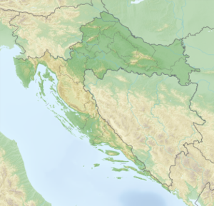
Lavdara is about 3.7 km long and has an average width of 600 m, the area is about 2.27 square kilometers, the coastline 9.2 km. The island is located at the southeast end of the island of Dugi Otok, east of Sali . It is surrounded by a number of smaller islands (Rava, Tukošćak, Mrtonjak, Mala Lavdara, Glavoć, Žut) and is not continuously inhabited.
The island is a ridge with three peaks: Zmorašnji Mali Vrh (67 m), Južni Mali Vrh (66 m) and the highest, Veli Vrh (87 m). On the island there is the 25 to 30 m deep cave Vela Jama (large cave), which was rediscovered in 1975; in the past the cave was used as a refuge by shepherds.
Up until the Second World War, cattle breeding, fruit growing and viticulture were practiced on Lavdara, as evidenced by an abandoned farm. Today there are around 20 holiday homes on the island, some of which are used for tourism.
Individual evidence
- ↑ Duplancic leather, T .; Ujević, T .; Čala, M. (2004): Duljine obalne crte i površine otoka na hrvatskom dijelu Jadranskog mora određene s topografskih karata mjerila 1:25 000 , Geoadria, Vol. 9, No. 1, 5-32.
