Vrgada
| Vrgada | ||
|---|---|---|
| Vrgada | ||
| Waters | the Adrian Sea | |
| Geographical location | 43 ° 40 ′ 20 " N , 15 ° 54 ′ 50" E | |
|
|
||
| length | 2.8 km | |
| width | 1.2 km | |
| surface | 3.7 km² | |
| Highest elevation | Srabljinovac 112 m |
|
| Residents | 250 (2001) 68 inhabitants / km² |
|
| main place | Vrgada (place) | |
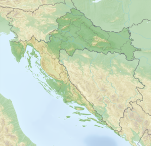
Vrgada is an island in the Šibenik archipelago and is located southwest of Pašman , Croatia .
The island was already mentioned by Constantine VII in the middle of the 10th century under the name Loumbrikaton . On a hill above the cemetery, there are wall remains with square defense towers, probably remains of the ancient and early medieval castrum .
Vrgada can be reached by boat from Pakoštane . It's about 5 kilometers from the mainland. The small island is car-free and belongs to the Pakoštane municipality. Two parallel mountain ranges give the island a wild character. The inhabitants live from agriculture, fishing and tourism.
Web links
Commons : Vrgada - collection of images, videos and audio files

