Ilovik
| Ilovik | ||
|---|---|---|
| Ilovik (right) and Sveti Petar (left) seen from Lošinj | ||
| Waters | Adriatic Sea , Kvarner | |
| Geographical location | 44 ° 27 '50 " N , 14 ° 34' 20" E | |
|
|
||
| length | 4 km | |
| width | 2 km | |
| surface | 5.8 km² | |
| Highest elevation |
Dida 91 m |
|
| Residents | 85 (2011) 15 inhabitants / km² |
|
| main place | Ilovik (place) | |
| View of Ilovik | ||
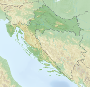
Ilovik (Eng .: Nebe ) is an island in the Adriatic . It is located south of the island of Lošinj and north of Dalmatia , is part of the Kvarner Bay and belongs to Croatia .
geography
Ilovik is a gently undulating island, the highest point is 91 m above sea level, the area is 5.8 km². The length of the coast is about 15 km. The island consists of limestone and is mostly overgrown with the macchia and olive trees typical of the region . In the southeast of the island there is a sandy bay (Parzine).
Settlement history and culture
The only settlement on the island is the town of the same name Ilovik with about 85 inhabitants. It is located in the north of the island, exactly opposite the small island of Sveti Petar , on which the remains of a Benedictine monastery , a Venetian fortress and the village cemetery are located. The latter leads to the peculiarity on the island that the deceased have to make their last trip by boat. The two islands are separated from each other by a narrow, approximately 250 m wide channel (Ilovacka Vrata), which also forms a natural harbor. The island is car-free and can be reached by ferries from Rijeka and Mali Lošinj . The island's inhabitants live primarily from tourism and fishing, while agriculture is of secondary importance and is mainly used for their own needs.


