Unije
| Unije | ||
|---|---|---|
| View of Unije (place) | ||
| Waters | Adriatic Sea , Kvarner | |
| Geographical location | 44 ° 38 '59 " N , 14 ° 14' 54" E | |
|
|
||
| length | 9.45 km | |
| width | 2.71 km | |
| surface | 16.87 km² | |
| Residents | 88 (2011) 5.2 inhabitants / km² |
|
| main place | Unije (place) | |
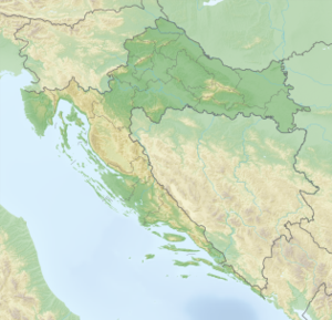
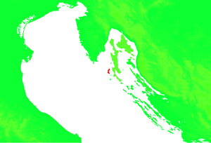
| Situation map | ||
Unije ( Italian Unie , German Niä ) is an island in the Adriatic Sea . It is located west of the island of Lošinj and south of Istria in the Kvarner Bay and belongs to Croatia .
geography
Unije is a gently rolling island, the area is 16.8 km². The length of the coast is about 37 km. The island consists of limestone and is mostly overgrown with the macchia typical of the region . In the east of the island there are some deeply cut bays , the largest is the bay Maracol, a popular port of call for sailors.
Settlement history and culture
The only settlement on the island is the town of the same name, Unije , which is located in a bay on the west coast, with around 50 permanent residents and a few hundred holidaymakers during the summer. There are several restaurants, a grocery store, post office and the tourist information office. The inhabitants of the island live primarily from tourism and fishing. Agriculture is of secondary importance, primarily for personal use.
traffic
The island is car-free, motorized carts and small tractors are used to transport goods. The island is approached by ships from Jadrolinija . With the local ferry with line number 310 from Mali Lošinj once or twice a day and with the catamaran (line number 9141) once a week in winter and almost daily in summer from Pula and Zadar . There is a small airfield with an unpaved runway on the island.
Web link
- official website (Croatian)


