Šćedro
| Šćedro | ||
|---|---|---|
| Šćedro seen from Hvar | ||
| Waters | the Adrian Sea | |
| Geographical location | 43 ° 5 ′ 0 ″ N , 16 ° 42 ′ 0 ″ E | |
|
|
||
| length | 6 km | |
| width | 2.5 km | |
| surface | 8.36 km² | |
| Highest elevation | Zelenikova Glava 113 m |
|
| Residents | uninhabited | |
| main place | Stare Stine (leave) | |
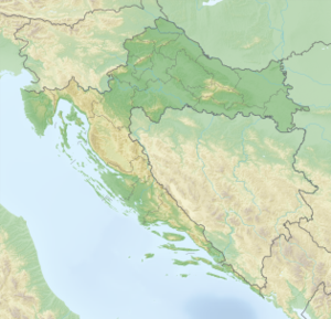
Šćedro ( Italian : Torcola ) is a Croatian island in the Adriatic Sea , 2.7 km south of Hvar , opposite the town of Zavala . The name of the island comes from the Old Slavic word štedri. Štedri stands for the good anchorages on the island, which has several well-protected, deep bays. The island's Latin name, Tauris, later changed to the Italian names Tauricola and Torcola.
As early as 1331, the island was recorded in the town chronicle of Hvar as communal property, which was mainly used for grazing. Due to the mild climate and relative fertility of Šćedro, grain was also grown on the island .
In 1456 a Dominican monastery with a hospital for seafarers was built on the island, which was abandoned in the eighteenth century.
There is an old mine near the abandoned village of Stare Stine that was used to mine gypsum . The Šcedro plaster was u. a. used for building chapels in Hvar.
About 30 people live on the island in summer. The old towns of Mostir and Nastane are uninhabited most of the time and are only used as starting points for tourists in the holiday season.
