Škarda
| Škarda | ||
|---|---|---|
| Waters | the Adrian Sea | |
| Geographical location | 44 ° 17 '2 " N , 14 ° 42' 20" E | |
|
|
||
| length | 3.5 km | |
| width | 1.5 km | |
| surface | 3.78 km² | |
| Highest elevation | 102 m | |
| Residents | uninhabited | |
| Situation map | ||
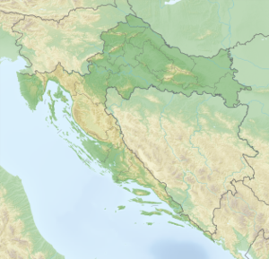
Škarda is a Croatian island in Dalmatia . It is about 3.5 kilometers long, about 1.5 kilometers wide and is at its highest point 102 m above sea level. Škarda is located southeast of the island of Premuda and northwest of the island of Ist .
Since there is no direct ferry connection to Škarda, the island has not been permanently inhabited for a long time. In the summer months, the descendants of the former residents vacation on the island, but tourists also visit the uninhabited island. Two bays of Škarda are built on, in the south-eastern bay there is a former fort.

