Rivanj
| Rivanj | ||
|---|---|---|
| Waters | the Adrian Sea | |
| Geographical location | 44 ° 9 '10 " N , 15 ° 2' 16" E | |
|
|
||
| length | 3.4 km | |
| width | 1.4 km | |
| surface | 4.4 km² | |
| Highest elevation | Lukočina 112 m |
|
| Residents | 22nd (2001) 5 inhabitants / km² |
|
| main place | Rivanj (place) | |
| Situation map | ||
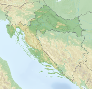
Rivanj is a Croatian island in the archipelago off Zadar , between the islands of Sestrunj and Ugljan .
The island has an area of 4.4 km² (length 3.4 km, width up to 1.4 km) and about 20 inhabitants. The highest peak is Lukočina at 112 m.
The only village is Rivanj in the interior of the island. Below the place, on the southwest coast of the island, there is a small port with a hamlet .
Macchia and bushwood grow on the island . There is a daily boat connection to Zadar . According to tradition, the present settlement was founded by settlers from the island of Ugljan.

