Proizd
| Proizd | ||
|---|---|---|
| Openstreetmap by Proizd | ||
| Waters | the Adrian Sea | |
| Geographical location | 42 ° 59 '8 " N , 16 ° 37' 2" E | |
|
|
||
| length | 1 km | |
| width | 600 m | |
| surface | 63.2 ha | |
| Highest elevation | 24 m | |
| Residents | uninhabited | |
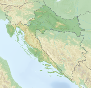
Proizd is a small, not permanently inhabited Croatian island in the Adriatic . It is located immediately west of the Dalmatian island of Korčula and is only separated from it by a sound about 200 meters wide . The island of 0.632 square kilometers with an irregular coastline has a coastline of 4.91 kilometers with a length of over 1000 meters and a max. Width of 600 meters and reaches a height of approx. 24 m above sea level.
The rocky island is mostly forested or has scrub vegetation . The coast consists mainly of rocky shores, interrupted by a few pebble beaches , particularly in nude are popular vehicle trailers due to geographical isolation.
The island can be reached in the bathing season with regular ferry boats from the holiday resort Vela Luka . There is gastronomy on the island, and in the west there is a beacon at the entrance of the ferry boats coming from Split or Hvar into the bay of Zaliv Vela Luka .
The island is uninhabited in the winter months.
Individual evidence
- ↑ [1] Length of the coastline and size of the surface of Croatian islands, Geoadria 2004 (en), PDF file on page 11
- ↑ [2] Web archive: Private homepage with tourist information about beaches in Croatia (en)

