
Fürth harbor
| Fürth harbor | |||
|---|---|---|---|
| Data | |||
| UN / LOCODE | DE FUE | ||
| owner | City of Fürth | ||
| operator | Infra Fürth GmbH | ||
| opening | 1972 | ||
| Port type | Lands | ||
| Throughput | 68,000 t (2010) | ||
| website | http://www.infra-fuerth.de/de/dienstleistungen/hafen/ | ||
| Geographic information | |||
| place | Fuerth | ||
| country | Bavaria | ||
| Country | Germany | ||
.jpg) |
|||
| Coordinates | 49 ° 29 '59 " N , 10 ° 57' 10" E | ||
|
|||


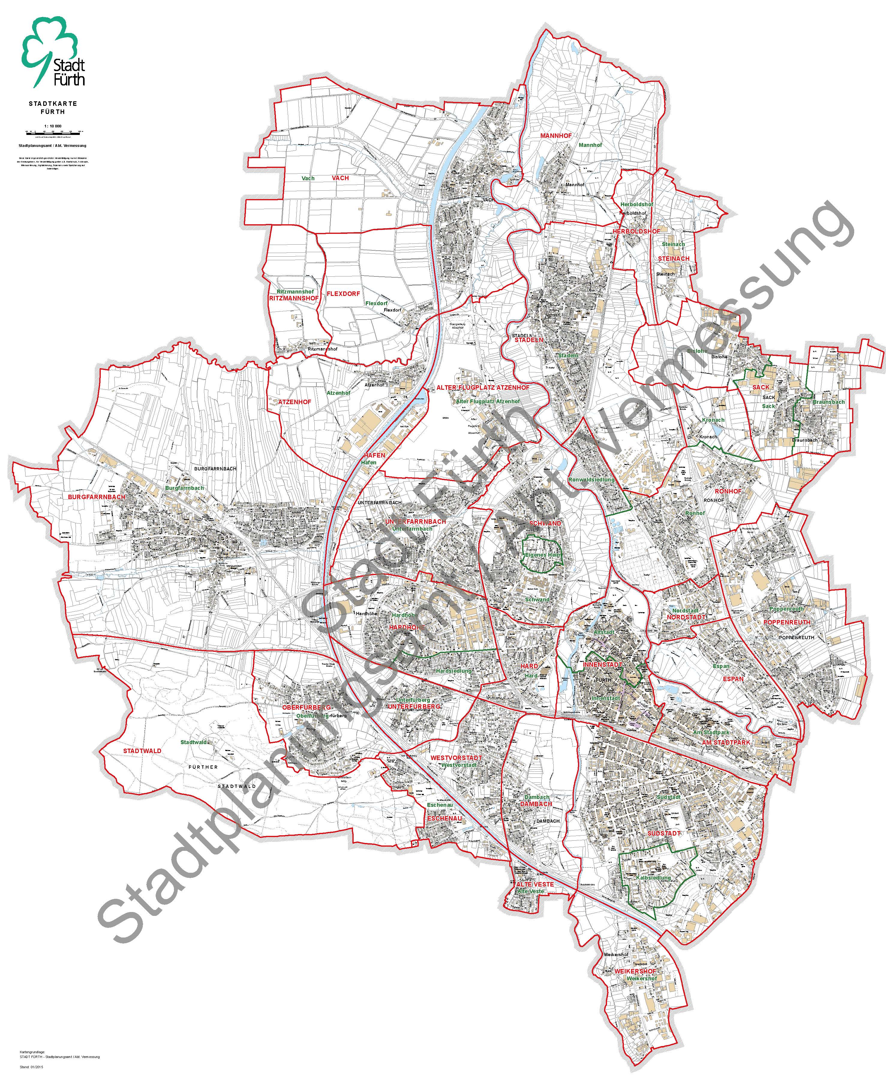
The port of Fürth is a port and commercial area and at the same time a district in the west of the independent city of Fürth in Middle Franconia .
geography
The Lände Fürth is four kilometers northwest of the city center of Fürth between the districts of Atzenhof and Unterfarrnbach and is an almost 15-hectare port area on the Main-Danube Canal . The area is a Latvian plain above the Regnitzgrund, which runs 1 km to the east . It's up to channel 55 kilometers east of the attitude Kriegenbrunn the Main-Danube canal at an altitude of 305 masl To the north, the canal crosses the Zenn in a mighty steel trough bridge before it joins the Regnitz at a distance of 2.5 km.
history
The Ludwig-Danube-Main Canal has led past Fürth to the south since the 1840s . After damage in the Second World War , it was closed around 1950, also due to the outdated transport capacities. In the 1960s, this was built over in the Fürth city area as a route for the federal motorway 73 , which is usually called Frankenschnellweg there, and planning and construction work for the construction of the new canal began. The Bodenfeld parcel was chosen as the site, as the airfield in Atzenhof, which was then used by the United States Air Force as a military base, and a siding from the existing Nuremberg – Würzburg railway line as an additional branch and pull-out track , were in the immediate vicinity was to be established. In this way, the direct, modern and efficient quad-modal transhipment of air / rail / ship / road would have been possible at a single location on the Fürth site. However, flight operations were stopped before the canal was completed, the airfield was only returned to the Federal Republic of Germany in 1993 and is now a listed building .
In the summer of 1972, the systems on the north ramp of the canal went into trimodal operation.
Commerce and infrastructure
The total area of the Fürth Lands of around 14 hectares is fully used and is occupied by the port facilities themselves, warehouses (1 hectare), storage areas (3.5 hectares), silos, tanks (6 hectares) and traffic routes. Mainly stones, bulk goods, agricultural and forestry products, animal feed and fertilizers as well as metal goods and metal waste, ores, mineral oil products and fuels are handled. A 16 t and a 20 t crane, pumps, conveyor belts, floor conveyors and a 50 t scale as well as generously dimensioned storage facilities are available, which are currently looked after by around 28 employees. Customs clearance on site is possible. With a quay length of 560 meters, either two push convoys with a length of 185 m plus a motorized goods ship (90 m) or four large motorized goods ships with a length of 110 m can be moored at the same time and then lifted or loaded. Directly opposite, km there are 55 West at MDK berths for two to three more ships, but with only a separate dock with floating platform and secured jetty exists. However, these are only used in the event of waiting times or malfunctions in the canal. There is a ship turn directly north of the land; Watercraft up to a length of 135 m can turn there.
Six kilometers south, at 61.6 km RMD South also existed in the village Alte Veste the passenger border Fürth . ⊙
traffic
The Fürth area has a direct connection to the federal highway 8 (which is called the Südwesttangente there ) via the Hafenstraße running parallel to the canal, 1.5 km away , and its own driveway that can hold up to 70 tons.
Web links
Individual evidence
- ↑ Lände Fürth at the Bavarian State Ministry for Economic Affairs, Infrastructure, Transport and Technology ( Memento of the original from July 10, 2015 in the Internet Archive ) Info: The archive link was inserted automatically and has not yet been checked. Please check the original and archive link according to the instructions and then remove this notice.
- ↑ District boundaries Fürth 2016 (.pdf)
- ↑ Location of the Fürth Lands , Bavaria Atlas
- ↑ Information from Infra Fürth on the Fürth area

Old fortress | Old Atzenhof Airport | At the city park | Atzenhof | Burgfarrnbach | Dambach | Eschenau | Espan | Flexdorf | Port | Hard | (with billing system and Scherbsgraben ) | Hardhöhe (with Hardsiedlung ) | Herboldshof | City center (with old town ) | Mannhof | Oberfürberg (with health resort settlement ) | Poppenreuth | Ritzmannshof | Ronhof (with Ronwaldsiedlung and Kronach ) | Sack (with Braunsbach and Bislohe ) | Schwand (with Finkenschlag and Stadelhof ) | Barn | City forest | Steinach | Südstadt (with veal settlement ) | Unterfarrnbach (with Stadelhof , Bremenstall and Kieselbühl ) | Unterfürberg | Vach | Weikershof | West suburb