
Upper Palatinate-Upper Main hill country

With Upper Palatine-Upper Main Hills (also: Oberpfälzisch-Obermainisches hills and mountains ), the trough-like is hilly countryside between the Franconian Alb in southwestern and (from northwest to southeast) Franconian Forest , Fichtelgebirge and the Upper Palatinate Forest in the northeast called.
The landscape in the northwest-southeast direction, about 170 km long, but only 7 to 35 km wide, is mainly in the Bavarian administrative districts of Upper Franconia and Upper Palatinate , but also to a small extent in the Thuringian district of Sonneberg . The most famous places are (from northwest to southeast) Sonneberg (outermost northeast edge), Kulmbach , Marktzeuln near Lichtenfels (as northwest border), Bayreuth , Weiden (east edge), Amberg and Schwandorf .
Natural allocation and structure
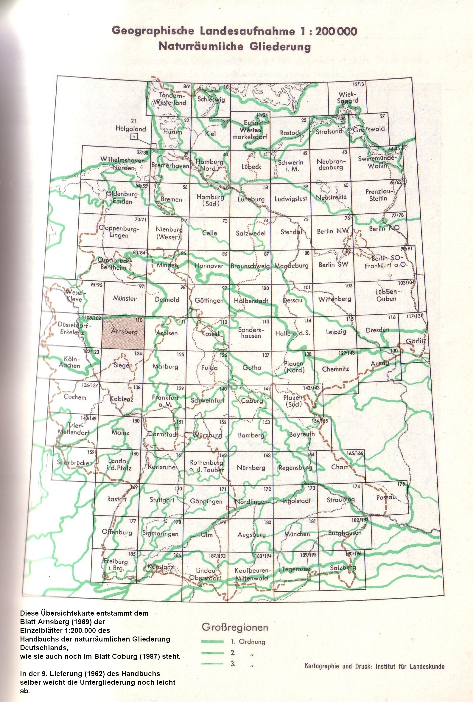
The Upper Palatinate-Upper Main Hügelland represents, according to the handbook of the natural spatial structure of Germany, a main group of natural spatial units. It is generally regarded as part of the south-west German level country , but there are also classifications that - just like the large landscapes / low mountain ranges that border south-west and north-east - are independent Conceive a large landscape of the 2nd order , which is divided into only two main units (three-digit). Since the detailed breakdown 1: 200,000 sheet 154/155 Bayreuth did not appear, a complete, more in-depth breakdown only exists from the Bavarian State Office for the Environment (LfU), and only since the 2000s. The only sub-natural area that extends beyond Thuringia, the Neustadt-Sonneberg Basin, is incorporated into the sandstone ridge in this division, but it is delimited and subdivided on sheet 141 Coburg . The natural areas (trailing letters) are partly divided into several simply connected segments, which are sorted according to the order in which they are listed at LfU (mostly from south-east to north-west) by trailing numbers, which, however, are not mentioned at LfU - nor are the names of the Segments. In the case of natural areas that have been broken down into individual sheets, an approximate translation is made into those natural areas (see natural spatial structure in the main unit articles).
The Upper Palatinate-Upper Main hill country is divided into main units and sub-units according to LfU as follows:
- 07 (= D62) Upper Palatinate-Upper Main hill country
- 070 Upper Palatinate hill country (10 natural spaces, 12 segments)
- 070-A Rodinger Hügelland [≈ 070.001 Trübenbacher Kreidesenke ; Southeast part of 070.00 Rodinger Winkel ] (19.62 km²)
- 070-B Freihöls-Bodenwöhrer depression with Rodinger forest [≈ 070-01–05 / 06 Amberg -Freihöls- Bodenwöhrer chalk bay ] (263.57 km²)
- 070-C Nittenauer Regental [≈ center of 070.41 Nittenauer Bucht ] (6.69 km²)
- 070-D Schwandorfer mountain range around Schwandorf [≈ 070.3 residual mountains of the Pittersberger saddle ] (2 segments, together 25.7 km²)
- 070-D1 Schwandorfer Weinberg and Wackersdorf-Meldauer mountain range , from Schwandorf via Wackersdorf to Bruck [≈ 070.31 + 070.32] (50.64 km²)
- 070-D2 Pittersberger Restsattel , near Pittersberg } [≈ 070.30] (20.06 km²)
- 070-E Pennading - Schmidgadener Halbgraben [≈ Pennading-Schmidgaden-Stulln-Weidinger Graben ] (83.23 km²)
- 070-F Hirschauer Bergländer , around Hirschau [≈ 070.2 Hahnbacher Sattel and Hahnbacher Mulde + Hirschau-Schnaittenbacher Senke + Kohlberger Höhenrück + Weidener Becken ] (520.58 km²)
- 070-G Grafenwöhrer Hügelland , with Eschenbach in the north, Grafenwöhr in the center and Vilseck on the southern edge [≈ Valley of the Creußen + Grafenwöhr military training area + Vilseck chalk ground ] (462.03 km²)
- 070-H Northeast Upper Palatinate Depression , near Kemnath , Neustadt am Kulm and Pressath (286.07 km²)
- 070-I Hessenreuther Kreiderücken , around (Pressath) - Hessenreuth (100.04 km²)
- 070-J Schwandorfer Bucht and Nittenauer Bucht [≈ 070.4 Pittersberger Ausraummulde without rain valley] (2 segments, together 165.78 km²)
- 070-J1 Southern Nittenau Bay [≈ South of 070.41 Nittenau Bay ] (8.08 km²)
- 070-J2 Schwandorfer Bucht and north of Nittenau Bay [≈ 070.40 Schwandorfer Bucht + north of 070.41 Nittenau Bay ] (157.70 km²)
- 071 Obermainisches Hügelland (5 natural spaces, 16 segments)
- 071-A "Keuper-Lias area" (5 segments, together 730.37 km²)
- 071-A1 Weidenberger Becken , near Weidenberg (10.81 km²)
- 071-A2 North-eastern foreland of the northern Franconian Jura , from Creußen via Bayreuth to Lichtenfels [≈ 071.0] (528.37 km²)
- 071-A3 Himmelkroner Keuper-Lias area , near Himmelkron (67.64 km²)
- 071-A4 Burgkunstädter Keuper-Lias-area [≈ 071.20 Gärtenroth-Veitlahmer Hügelland + 071.21 Burkersdorfer Rhätolias-Hügelland + 071.31 Kirchleuser Platte ] (109.61 km²)
- 071-A5 Schmölzer Zwickel , near Schmölz [≈ 071.22] (13.94 km²)
- 071-B "Muschelkalkzug" (4 segments, together 134.84 km²)
- 071-B1 Bindlacher Muschelkalkzug , near Bindlach (47.29 km²)
- 071-B2 Stadtsteinacher Muschelkalkzug , near Stadtsteinach (73.36 km²)
- 071-B3 Kronacher Muschelkalkriedel , north of Kronach (12.54 km²)
- 071-B4 Friesener Weinberg , northwest of Friesen (1.65 km²)
- 071-C "Sandstone Ridge" (5 segments, in the narrower sense 4; the latter 147.94 km²)
- 071-C1 Kulmbach-Harsdorfer sandstone ridge , from Kulmbach to Hersdorf (50.29 km²)
- 071-C2 Kronach-Kulmbacher (colored) sandstone ridges, from Kronach to Kulmbach [≈ 071.32] (46.30 km²)
- 071-C3 Reitsch-Kronacher Sandsteinriedel , from Reitsch to Kronach (14.56 km²)
- 071-C4 Kronach-Mitwitzer Plateau (as well as Burggruber Pforte and Rotheuler Hügelland , Neustadt-Sonneberg Basin ) [≈ 071.30 + 071.53] (36.79 km² plus (13.56 + 8.34) km² in the Neustadt-Sonneberg Basin)
- 071-C5 Western Neustadt-Sonneberg Basin including Muppberg [≈ 071.50–52] (37.72 km²)
- 071-D Steinach-Rodach valley system [≈ 071.10 Redwitzer Talgeflecht ] (34.37 km² plus 8.93 km² in the Linder Lösslehm plain , Neustadt-Sonneberg basin)
- 071-E Obermaintal [≈ 071.11 Burgkunstadt - Kulmbach Maintal ] (37.77 km²)
- 071.5 Neustadt-Sonneberg Basin , near Neustadt and Sonneberg (68.55 km² in Bavaria, another 77 km² in the Sonneberg district , Thuringia)
- 071-A "Keuper-Lias area" (5 segments, together 730.37 km²)
- 070 Upper Palatinate hill country (10 natural spaces, 12 segments)

The dividing line between the two landscapes is mainly the watershed between Main (north) and Naab (south).
The Upper Palatinate hill country contains practically all rock ages between Perm and the present, while the rocks of the Upper Main hill country consist mainly of Lias (Black Jura) and Dogger (Brown Jura).
Individual evidence
- ↑ a b c Emil Meynen , Josef Schmithüsen (ed.): Handbook of the natural spatial structure of Germany . Federal Institute for Regional Studies, Remagen / Bad Godesberg 1953–1962 (9 deliveries in 8 books, updated map 1: 1,000,000 with main units 1960).
- ↑ The Federal Institute for Regional Studies , which published the manual, rated the O.-O. Hill country initially as part of the south-west German step country, but since 1969 tended to declare the landscape as a separate large landscape of the 2nd order , see mapping .
- ↑ Natural areas of the main unit group 07 in the Bavaria Atlas of the Bavarian State Government - Upper Palatinate-Upper Main Hills Hügelland ( notes )
- ↑ a b Klaus Müller-Hohenstein: Geographical land survey: The natural space units on sheet 165/166 Cham. Federal Institute for Regional Studies, Bad Godesberg 1973. → Online map (PDF; 4.4 MB)
- ↑ a b c d e f g h i j k l m Dietrich-Jürgen Manske : Geographical land survey: The natural spatial units on sheet 164 Regensburg. Federal Institute for Regional Studies, Bad Godesberg 1981. → Online map (PDF; 4.8 MB)
- ↑ a b c d Dietrich-Jürgen Manske: The Amberg Sulzbach district in the mirror of the times . S. 9–46 ( heimatforschung-regensburg.de [PDF]).
- ↑ a b c d e f g h Obvious name of the natural area, which has not been used by employees of the Federal Institute for Regional Studies or the LfU
- ↑ Mention of the Weidenberger Basin in: Ludwig Zöller, Helmut Stingl and Arno Kleber: Das Trebgasttal - valley and landscape development near the European main watershed in the Bayreuth area
- ↑ a b c d e f g h i j k l m n o p q Heinz Späth: Geographical land survey: The natural spatial units on sheet 141 Coburg. Federal Institute for Regional Studies, Bad Godesberg 1987. → Online map (PDF; 5.0 MB)
- ↑ Map services of the Federal Agency for Nature Conservation ( information )
Web links
- Natural areas of the main unit group 07 in the Bavaria Atlas of the Bavarian State Government - Upper Palatinate-Upper Main hill country ( information )
-
Landscape profiles of the Federal Agency for Nature Conservation ( information );
-
7000 Upper Palatinate hill country
- 7001 Grafenwöhr military training area
- 7002 Naabtal between Wernberg and Maxhütte (only partially in the Upper Palatinate hill country)
- 7100 Upper Main Hill Country
-
7000 Upper Palatinate hill country
- List of species ( Bavarian State Office for the Environment )