
Sniatyn
| Sniatyn | |||
| Снятин | |||

|
|
||
| Basic data | |||
|---|---|---|---|
| Oblast : | Ivano-Frankivsk Oblast | ||
| Rajon : | Snyatyn Raion | ||
| Height : | 270 m | ||
| Area : | 35.29 km² | ||
| Residents : | 9,942 (2019) | ||
| Population density : | 282 inhabitants per km² | ||
| Postcodes : | 78300 | ||
| Area code : | +380 3476 | ||
| Geographic location : | 48 ° 27 ' N , 25 ° 34' E | ||
| KOATUU : | 2625210100 | ||
| Administrative structure : | 1 city | ||
| Address: | вул. Т. Шевченка 70 78300 м. Снятин |
||
| Website : | City council website | ||
| Statistical information | |||
|
|||


Snjatyn ( Ukrainian Снятин ; Russian Снятын , Polish Śniatyn ) is a city on the left bank of the Prut in western Ukraine with about 10,000 inhabitants (2019).

The city is located in the east of Ivano-Frankivsk Oblast , about 81 kilometers southeast of Ivano-Frankivsk . In Snyatyn the regional road P-20 meets the trunk road N10 .
history
The place was mentioned in writing for the first time in 1158. 1448 he received as part of the Ruthenian Voivodeship the noble Republic Poland-Lithuania the Magdeburg rights officially awarded. The city is therefore one of the oldest cities in the historical region of Pokutiens . After the First Partition of Poland from 1772 to 1918, the city belonged to Austrian Galicia and from 1854 to 1918 the seat of the Śniatyn District Commission , together with the District Court established in 1867, they existed until 1918.
In 1866 a station on the Lemberg-Chernivtsi-Jassy railway was opened south of the city , which promoted economic development. After the end of World War Sniatyn came to Poland , was here in 1921 in the province Stanislau and was in World War II in 1939 until Soviet and 1941-1944 German occupied. During the war, the city's Jewish population was locked in a ghetto. This was burned down in 1942 and the remaining Jews were transported away and murdered.
In 1945 the city came back to the Soviet Union , where it became part of the Ukrainian SSR and has been part of Ukraine since the collapse of the Soviet Union in 1991.
The urban area also includes the early German-speaking village of Augustdorf (Augustów in Polish), which is located northeast of the city center near the border with Bukowina . The place was founded in 1836 by Protestant families from Josefsberg and Landestreu and named after the then mayor of Snjatyn. In 1837 (constituted in 1871) they founded a branch of the Helvetic parish of Kolomea in the Evangelical Superintendent of Galicia . A church was built in 1868. In 1944 the German-speaking population was evacuated and the village was incorporated into Snjatyn after the end of the Second World War.
Another incorporated village is Mykulynzi (Микулинці), this was incorporated into the city on July 14, 1975.
Personalities
- Oleh Didenko (* 1980), lawyer and head of authorities
- Wassyl Kasijan (1896–1976), Ukrainian-Soviet graphic artist and art professor
- Roman Palester (1907–1989), Polish composer
- Jakob Rosner (1890–1970), Austrian journalist and Marxist
architecture
Many historical buildings have fallen apart. The castle fell into disrepair and finally disappeared after the Second World War. The cemetery still reminds of the old Armenian settlement. Today's parish church, which was consecrated in 1857, has survived the devastation that took place under Soviet rule. In the city center there are still a few historic town houses from the 18th century, including the former town hall. The impressive "Great Synagogue" in the east of the city still exists as a building, but with the move into a sewing factory it has lost its architectural character.
Web links
- Śniatyn . In: Filip Sulimierski, Władysław Walewski (eds.): Słownik geograficzny Królestwa Polskiego i innych krajów słowiańskich . tape 10 : Rukszenice – Sochaczew . Walewskiego, Warsaw 1889, p. 929 (Polish, edu.pl ).
- Sniatyn's past rediscovered in the present
- Information about Augustdorf
- Impressions from Augustdorf (district of Sniatyn), Ukraine, Kolomea district (PDF; 903 kB). Aid Committee of the Galiziendeutschen eV Publication from October 2012. Accessed on December 6, 2016.
Individual evidence
- ↑ Cities and Settlements of Ukraine on pop-stat.mashke.org ; accessed on May 17, 2020 (Ukrainian)
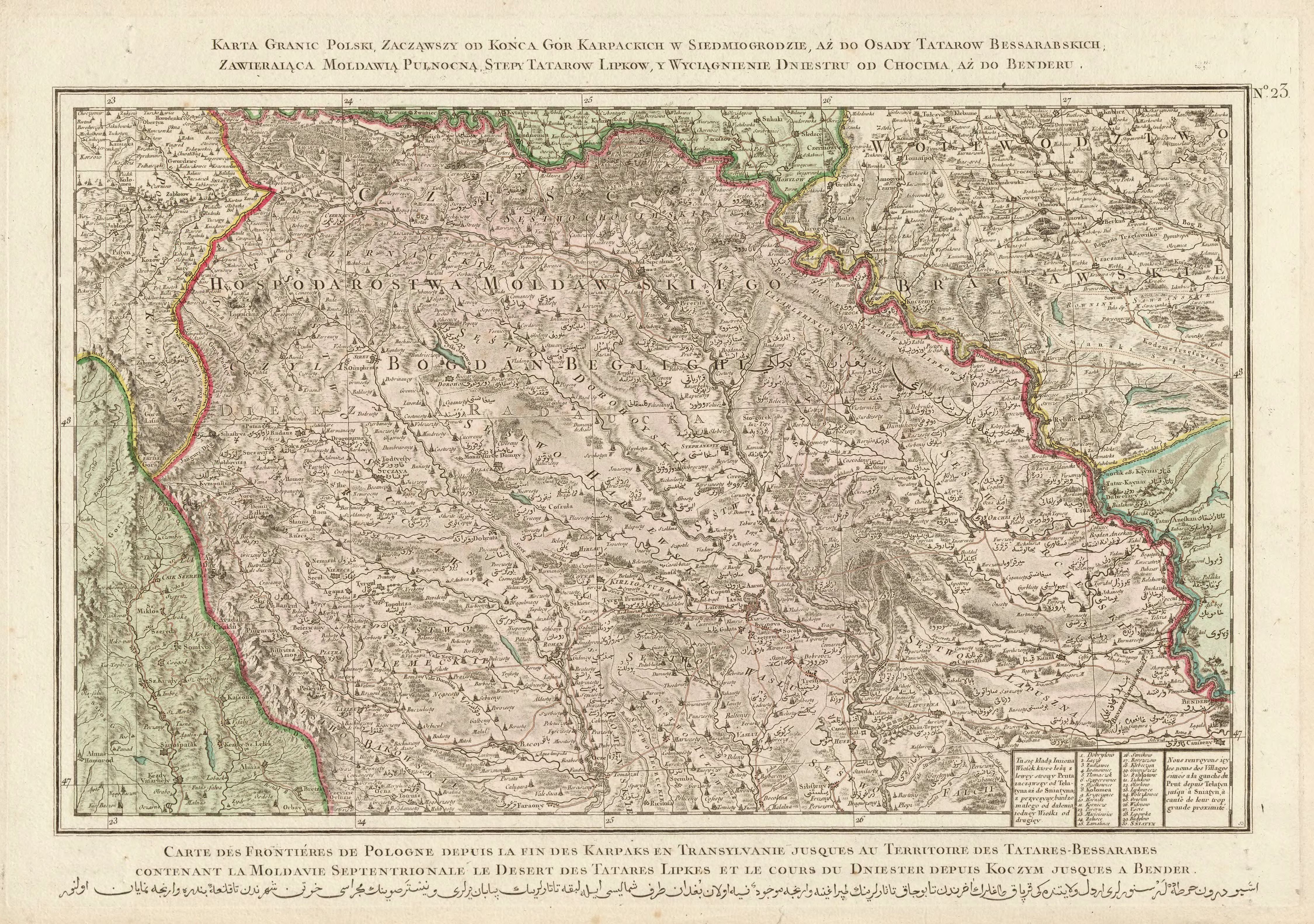
- ↑ Rizzi Zannoni, Karta granic Polski, zacząwszy od końca gór Karpackich w Siedmiogrodzie, aż do osady Tatarów Bessarabskich, Zawieraiąca Moldawią Pułnocną, stepy Tatarów Lipków, y wyciągnienie Dniestru do od Chocender .; 1772
- ^ Reichsgesetzblatt of April 24, 1854, No. 111, page 401
- ↑ Schematism of the Evangelical Church in Augsb. and Helvet. Confession in the kingdoms and countries represented in the Austrian Imperial Council . Vienna 1875, p. 342-343 ( online ).
Burschtyn | Bolekhiv | Dolyna | Halytsch | Horodenka | Ivano-Frankivsk | Yaremche | Kalush | Kolomyia | Kosiv | Nadwirna | Rohatyn | Snjatyn | Tlumatsch | Tysmenitsa
Bilzhivtsi urban-type settlements |
Bohorodchany |
Brochniv Ossada |
Bukachivtsi |
Bytkiw |
Delyatyn |
Hwisdez |
Jabluniw |
Jesupil |
Kuty |
Lanchyn |
Lyssez |
Obertyn |
Otynija |
Perehinske |
Pechenishyn |
Roshnyativ |
Sabolotiv |
Zolotvyn |
Chernelytsia |
Verkhovyna |
Voynyliv |
Vorokhta |
Wyhoda