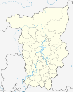
Dobryanka
| city
Dobryanka
Dobryanka
|
||||||||||||||||||||||||||||||||||||||||||
|
||||||||||||||||||||||||||||||||||||||||||
|
||||||||||||||||||||||||||||||||||||||||||
| List of cities in Russia | ||||||||||||||||||||||||||||||||||||||||||
Dobryanka ( Russian Добрянка ) is a city in the Perm region ( Russia ) with 33,686 inhabitants (as of October 14, 2010).
geography
The town lies on the western edge of the Central Urals about 60 km north of the regional capital Perm 's left bank here to Kama Reservoir pent Kama , near the mouth of the river of the same name Dobryanka .
Dobryanka is directly subordinate to the region administratively. The city is subordinated to the urban-type Polasna settlement (13,201 inhabitants) and 112 villages with a total of 12,478 inhabitants, so that the total population of the administrative unit City of Dobryanka is 61,433 (2009 calculation).
The city lies on the Perm – Kisel railway line .
history
Dobryanka was first mentioned in 1623. In 1752 a copper and iron works was built here by the Stroganow family , around which a workers' settlement was built, which was granted city rights in 1943.
After the Kamastaudamm was completed in 1956, the plant and part of the city were flooded.
Population development
| year | Residents |
|---|---|
| 1939 | 10.214 |
| 1959 | 15,515 |
| 1970 | 18,349 |
| 1979 | 22,229 |
| 1989 | 35,317 |
| 2002 | 36,436 |
| 2010 | 33,686 |
Note: census data
Culture and sights
In the part of the city that is not flooded by the Kama reservoir, some buildings from the 19th century have been preserved, such as the Church of St. Mitrofan from 1836, a school from 1845 and the Alexander Nevsky Chapel from 1893.
A local history museum has existed since 1967.
economy
The most important companies in the city is the 1976 built Perm thermal power station ( Permskaya GRES ) northwest of the city, which today for utilities OGK-1 belongs. The timber industry and processing as well as the construction industry play an important role.
See also
Individual evidence
- ↑ a b Itogi Vserossijskoj perepisi naselenija 2010 goda. Tom 1. Čislennostʹ i razmeščenie naselenija (Results of the All-Russian Census 2010. Volume 1. Number and distribution of the population). Tables 5 , pp. 12-209; 11 , pp. 312–979 (download from the website of the Federal Service for State Statistics of the Russian Federation)
Web links
- City administration website (Russian)
- Dobryanka on mojgorod.ru (Russian)


