Khao Khitchakut National Park
| Khao Khitchakut National Park อุทยานแห่งชาติ เขา คิ ช ฌ กูฏ |
||
|---|---|---|
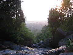
| View from the top of the Krathing waterfall over the national park | ||
|
|
||
| Location: | Chanthaburi , Thailand | |
| Next city: | Chanthaburi | |
| Surface: | 59 km² | |
| Founding: | May 4th 1977 | |
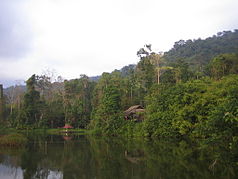
| Lake and camping area below the Krathing waterfall | ||
The Khao Khitchakut National Park ( Thai อุทยานแห่งชาติ เขา คิ ช ฌ กูฏ ) is a national park in the district ( Amphoe ) Khao Khitchakut of Chanthaburi Province in the eastern part of central Thailand .
geography
The Khao Khitchakut National Park begins near the village of Makham about 15 kilometers north of the provincial capital Chanthaburi . It was declared a national park on May 4, 1977.
The mountainous park covers around 59 km², making it one of the smallest national parks in Thailand. The highest mountain is 1,085 meters high. The park is an important watershed for Chanthaburi Province. The forest is in the area of five counties, but only a small part of it is designated as a national park.
Since the park is close to the Khao Soi Dao Wildlife Sanctuary , there are numerous animal species, such as elephants and numerous species of birds. The climate is comparatively cool all year round. The months November to January are best for tourists.
Attractions
- Krathing waterfall ( น้ำตก กระทิง ) - The falls are close to the park administration and can be reached in several ways. The water pours down thirteen steps.
- Chang-Se Waterfall ( น้ำตก คลอง ช้าง เซ ) - This waterfall is 12.5 kilometers from the park administration. It is a tall waterfall that carries water all year round. There is a campsite nearby, which also offers guided tours to a nature trail.
- Khao Khitchakut (also: Yot Phrabat - Mountain of the Sacred Footprint, ยอด เขา พระบาท ) - The mountain is around 16.5 kilometers from the park administration. The way to the summit is then another 6.5 kilometers. Every year from February to March, thousands of pilgrims hike to the summit because the Buddha's footprints are said to be there. At the summit there are some interesting rock formations, for example in the form of a pagoda, an elephant or a giant turtle. From here you also have a good view of the Gulf of Thailand . On the mountain there is a cave called Tham Ruesi ( Hermit Cave , ถ้ำ ฤษี ), which can be reached after a hike of about two hours on a signposted path. Near the cave is the Bo Ya spring ( medicine spring ): at the bottom of the spring there is a yellow color and it is said that it can cure various diseases.
- Forest trails - There are numerous hiking trails in the forest. For more information you have to ask the national park administration, as most of the trails can only be visited with a guide.
literature
- Vasa Sutthipibul, et al. (Ed.): National parks in Thailand. National Park, Wildlife and Plant Conservation Department, Bangkok 2006, ISBN 974-286087-4
Web links
- Description of the Khao Khitchakut National Park by the Thai Department of National Parks, Wildlife and Plant Conservation in English [last accessed on October 15, 2013]


