Čichalov
| Čichalov | ||||
|---|---|---|---|---|
|
||||
| Basic data | ||||
| State : |
|
|||
| Region : | Karlovarský kraj | |||
| District : | Karlovy Vary | |||
| Area : | 1282.1778 ha | |||
| Geographic location : | 50 ° 7 ' N , 13 ° 10' E | |||
| Height: | 595 m nm | |||
| Residents : | 171 (Jan 1, 2019) | |||
| Postal code : | 364 52 - 364 53 | |||
| License plate : | K | |||
| structure | ||||
| Status: | local community | |||
| Districts: | 4th | |||
| administration | ||||
| Mayor : | Milena Pohanová (as of 2006) | |||
| Address: | Čichalov 55 364 52 Žlutice |
|||
| Municipality number: | 506621 | |||
| Website : | www.cichalov.cz | |||
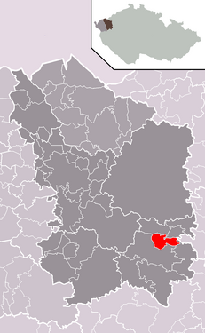
| Location of Čichalov in the Karlovy Vary district | ||||

|
||||
Čichalov (German Sichlau ) is a municipality in Karlovarský kraj in the Czech Republic . In 2004, 153 inhabitants lived in the place first mentioned in 1386. The place is located in the Duppau Mountains and belonged to the Luditz district until the end of the First World War .
Local division
The municipality of Čichalov consists of the districts Čichalov ( Sichlau ), Kovářov ( Kowarschen ), Mokrá ( Mokrau ) and Štoutov ( town courtyards ), which also form cadastral districts.

