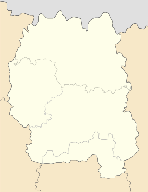
Hranitne
| Hranitne | ||
| Гранітне | ||

|
|
|
| Basic data | ||
|---|---|---|
| Oblast : | Zhytomyr Oblast | |
| Rajon : | Malyn district | |
| Height : | 141 m | |
| Area : | 0.62 km² | |
| Residents : | 1,508 (August 1, 2012) | |
| Population density : | 2,432 inhabitants per km² | |
| Postcodes : | 11600 | |
| Area code : | +380 4133 | |
| Geographic location : | 50 ° 45 ' N , 29 ° 21' E | |
| KOATUU : | 1823455200 | |
| Administrative structure : | 1 urban-type settlement | |
| Mayor : | Mykola Kursa | |
| Address: | вул. Леніна 10 11634 смт. Гранітне |
|
| Statistical information | ||
|
|
||
Hranitne (Ukrainian Гранітне ; Russian Гранитное / Granitnoje ) is an urban-type settlement in the Zhytomyr Oblast in Ukraine, south of the Irscha River , about 9 kilometers southeast of the Rajon capital Malyn and 71 kilometers northeast of the Oblast capital Zhytomyr .
The history of the place begins with the construction of a granite mine on the area of the place, the workers' settlement developed into a settlement, which was officially established on June 29, 1960 by the amalgamation of the places Hrankarjer (Гранкар'єр) and Shchebzavod (Щебзавод) March 1987 the place was finally given urban-type settlement status.
The place lives from the granite mining and the gravel works to this day, through the connection to the railway line to Kiev this development is sustainably secured.


