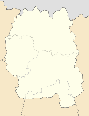
Horodok (Radomyshl)
| Horodok | ||
| Городок | ||

|
|
|
| Basic data | ||
|---|---|---|
| Oblast : | Zhytomyr Oblast | |
| Rajon : | Radomyshl district | |
| Height : | 161 m | |
| Area : | 15.14 km² | |
| Residents : | 2,671 (2012) | |
| Population density : | 176 inhabitants per km² | |
| Postcodes : | 12265 | |
| Area code : | +380 4132 | |
| Geographic location : | 50 ° 36 ' N , 29 ° 27' E | |
| KOATUU : | 1825055500 | |
| Administrative structure : | 1 urban-type settlement | |
| Mayor : | Olexandr Sopurko | |
| Address: | 12265 смт. Городок | |
| Statistical information | ||
|
|
||
Horodok (Ukrainian Городок ; Russian Городок / Gorodok ) is an urban-type settlement in the east of the Ukrainian Oblast Zhytomyr with about 2,600 inhabitants.
Horodok was founded in 1969 as the secret military town of Makariw-1 (Макарів-1, based on Makariw located to the southeast ), there were 2 different military units (one for the maintenance of nuclear weapons, one for military seismology) stationed on July 5, 2012 by decision of the Verkhovna Rada, the status of the military town was revoked and the place was renamed an urban-type settlement named Horodok. It is the only village in the settlement council of the same name.
The settlement is located in Radomyshl Rajon east of Teteriv , about 67 kilometers northeast of the Zhytomyr Oblast center and 18 kilometers northeast of the Radomyshl Rajon center . The village has a rail connection to the Kovel – Kiev railway line .


