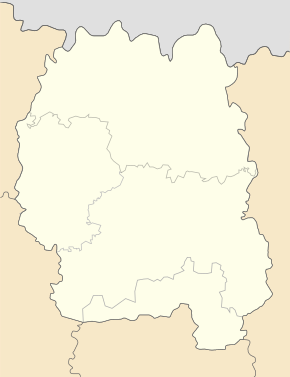
Irschansk
| Irschansk | ||
| Іршанськ | ||

|
|
|
| Basic data | ||
|---|---|---|
| Oblast : | Zhytomyr Oblast | |
| Rajon : | Khoroshiw district | |
| Height : | no information | |
| Area : | 3.83 km² | |
| Residents : | 6,831 (2014) | |
| Population density : | 1,784 inhabitants per km² | |
| Postcodes : | 12110 | |
| Area code : | +380 4145 | |
| Geographic location : | 50 ° 45 ' N , 28 ° 43' E | |
| KOATUU : | 1821155400 | |
| Administrative structure : | 1 urban-type settlement | |
| Address: | вул. Гулія 7 12 110 смт. Іршанськ |
|
| Website : | http://irshansk-rada.com.ua/ | |
| Statistical information | ||
|
|
||
Irshansk ( Ukrainian Іршанськ ; Russian Иршанск Irshansk ) is an urban-type in the Ukrainian oblast Schytomyr with about 6800 inhabitants (2014).

Palace of Culture in Irschansk
Irschansk was founded on August 5, 1960 as a workers' settlement on the industrial site of an ore mining and processing plant and is the only place in the settlement council. Irschansk received urban-type settlement status in 1963.
geography
Irschansk is located in the north of Khoroshiw Raion on the border with Korosten Raion . The place is on the right bank of the Irscha , a left tributary of the Teteriv 11 km northeast of Nowa Borowa , 31 km northeast of the district center of Khoroshiw and 75 km north of the Oblast center Zhytomyr .
Web links
Commons : Irschansk - collection of images, videos and audio files
Individual evidence
- ↑ Cities in Ukraine at pop-stat.mashke.org, last accessed on November 27, 2014
- ↑ History of Irschansk on the website of the municipal council ( Memento of the original from April 27, 2014 in the Internet Archive ) Info: The archive link has been inserted automatically and has not yet been checked. Please check the original and archive link according to the instructions and then remove this notice. , accessed November 27, 2014


