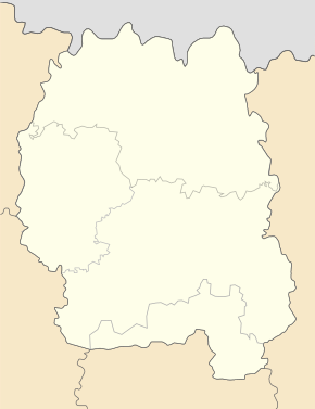
Pershotavensk (urban-type settlement)
| Pershotavensk | ||
| Першотравенськ | ||

|
|
|
| Basic data | ||
|---|---|---|
| Oblast : | Zhytomyr Oblast | |
| Rajon : | Baranivka district | |
| Height : | 214 m | |
| Area : | 8.34 km² | |
| Residents : | 3,401 (2019) | |
| Population density : | 408 inhabitants per km² | |
| Postcodes : | 12746 | |
| Area code : | +380 4144 | |
| Geographic location : | 50 ° 12 ' N , 27 ° 38' E | |
| KOATUU : | 1820656000 | |
| Administrative structure : | 1 urban-type settlement | |
| Address: | вул. Леніна 12 12746 смт. Першотравенськ |
|
| Statistical information | ||
|
|
||
Perschotrawensk ( Ukrainian Першотравенськ ; Russian Першотравенск ) is an urban-type settlement in the west of the Ukrainian Oblast Zhytomyr on the border with Oblast Khmelnytskyi with 3400 inhabitants (2019).
Founded in 1898 as Tokarivka ( Токарівка ), the village was given its current name in 1934 and urban-type settlement status in 1938. Perschotrawensk is the only village in the settlement council of the same name in the south of Baranivka district .
geography
Perschotrawensk lies on the banks of the 114-kilometer-long Chomora ( Хомора ) just before its confluence with the Slutsch, 7 kilometers downstream of the SsT Poninka . The settlement is located on the territorial road T-06-12 11 km south of Rajonzentrum Baranivka and 86 km west of the Oblastzentrum Zhytomyr .
Web links
Individual evidence
- ↑ Cities in Ukraine at pop-stat.mashke.org, last accessed on November 26, 2019


