Myropil
| Myropil | ||
| Миропіль | ||

|
|
|
| Basic data | ||
|---|---|---|
| Oblast : | Zhytomyr Oblast | |
| Rajon : | Romaniv Raion | |
| Height : | 243 m | |
| Area : | 8.56 km² | |
| Residents : | 4,593 (2014) | |
| Population density : | 537 inhabitants per km² | |
| Postcodes : | 13033 | |
| Area code : | +380 4146 | |
| Geographic location : | 50 ° 6 ′ N , 27 ° 42 ′ E | |
| KOATUU : | 3523180306 | |
| Administrative structure : | 1 urban-type settlement | |
| Address: | вул. Леніна 38 13033 смт. Миропіль |
|
| Statistical information | ||
|
|
||
Myropil ( Ukrainian Миропіль ; Russian Мирополь Miropol , Polish Miropol ) is an urban-type settlement in the southwest of the Ukrainian Oblast Zhytomyr with about 4600 inhabitants (2019).
Myropil was founded in 1497 and received urban-type settlement status in 1957. It is the only village in the settlement council of the same name.
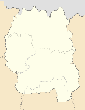
Myropil is located in the Romaniv Raion on the banks of the Slutsch and on the T – 23-09 territorial road about 80 km southwest of the Zhytomyr Oblast center and 22 km southwest of the Romaniv Raion center . The village has a train station on the Shepetivka – Berdychiv railway line .
literature
- Miropol , in: Guy Miron (Ed.): The Yad Vashem encyclopedia of the ghettos during the Holocaust . Jerusalem: Yad Vashem, 2009 ISBN 978-965-308-345-5 , p. 485
Web links
Commons : Myropil - collection of images, videos and audio files
- Miropol . In: Filip Sulimierski, Władysław Walewski (eds.): Słownik geograficzny Królestwa Polskiego i innych krajów słowiańskich . tape 6 : Malczyce – Netreba . Walewskiego, Warsaw 1885, p. 496 (Polish, edu.pl ).
Individual evidence
- ↑ Cities in Ukraine at pop-stat.mashke.org, last accessed on October 7, 2019


