Kornat (island)
| Kornat | ||
|---|---|---|
| Kornat | ||
| Waters | the Adrian Sea | |
| Archipelago | Kornati islands | |
| Geographical location | 43 ° 48 ' N , 15 ° 20' E | |
|
|
||
| length | 25 km | |
| width | 2.5 km | |
| surface | 32.44 km² | |
| Highest elevation | 237 m | |
| Residents | 7th (2001) <1 inh / km² |
|
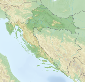
| Situation map | ||
Kornat ( Italian Incoronata ) is an elongated Croatian island in the Adriatic Sea . It belongs to the Kornati group .
location
With 32.44 km² it is the largest island in front of Šibenik . It joins south of Dugi Otok and is surrounded by many uninhabited small islands.
history
People lived on Kornat as early as the Neolithic . Finds of stone axes in the Zejkovac field below the Pedinka mountain on the island indicate this. The first confirmed colonizations of the islands date from the time of the Illyrians . The Romans also left their mark. The island was then only very sparsely populated until the 13th century .
supporting documents
- ↑ Duplancic leather, T .; Ujević, T .; Čala, M. (2004): Duljine obalne crte i površine otoka na hrvatskom dijelu Jadranskog mora određene s topografskih karata mjerila 1:25 000 , Geoadria, Vol. 9, No. 1, 5-32.
Web links
Commons : Kornat - collection of images, videos and audio files


