Myroljubiw
| Myroljubiw | ||
| Миролюбів | ||

|
|
|
| Basic data | ||
|---|---|---|
| Oblast : | Zhytomyr Oblast | |
| Rajon : | Luhyny district | |
| Height : | 202 m | |
| Area : | 3.8 km² | |
| Residents : | 628 (2015) | |
| Population density : | 165 inhabitants per km² | |
| Postcodes : | 11310 | |
| Area code : | +380 4161 | |
| Geographic location : | 51 ° 15 ' N , 28 ° 7' E | |
| KOATUU : | 1822856000 | |
| Administrative structure : | 1 urban-type settlement | |
| Address: | вул. Леніна 13 11310 смт. Миролюбів |
|
| Website : | City council website | |
| Statistical information | ||
|
|
||
Myroljubiw ( Ukrainian Миролюбів ; Russian Миролюбов Miroljubow ) is an urban-type settlement in the north of the Ukrainian Oblast Zhytomyr with about 600 inhabitants (2015).
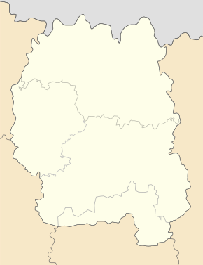
The place was founded in 1955 under the name Schowtnewe (Ukrainian Жовтневе ) and received the status of an urban-type settlement in 1980. On May 12, 2016, it was renamed Myroljubiw as part of the Ukrainian decommunization . It is the only village belonging to the settlement council of the same name and is located in the extreme northwest of Luhyny district, 39 km northwest of the Luhyny district center and about 150 km northwest of Zhytomyr .
In 1969 a briquetting factory for peat coal was opened in the village.
Individual evidence
- ↑ Demographics of Ukrainian cities on pop-stat.mashke.org, accessed on November 5, 2015
- ↑ Верховна Рада України; Постанова від May 12, 2016 № 1353-VIII Про перейменування деяких населених пунктів


