Gargantilla del Lozoya y Pinilla de Buitrago
You can help expand this article with text translated from the corresponding article in Spanish. (November 2014) Click [show] for important translation instructions.
|
Gargantilla del Lozoya y Pinilla de Buitrago | |
|---|---|
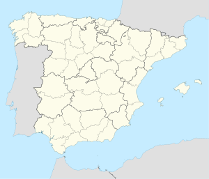
 Municipal location within the Community of Madrid. | |
| Coordinates: 40°57′56″N 3°43′1″W / 40.96556°N 3.71694°W | |
| Country | |
| Autonomous community | Community of Madrid |
| Area | |
| • Land | 9.31 sq mi (24.12 km2) |
| Elevation | 3,717 ft (1,133 m) |
| Population (2018)[1] | |
| • Total | 318 |
| Time zone | UTC+1 (CET) |
| • Summer (DST) | UTC+2 (CEST) |
Gargantilla del Lozoya y Pinilla de Buitrago is a municipality of the Community of Madrid, Spain. It is the municipality with the longest official name in Spain.[2]
Geography
Climate
According to the Köppen climate classification, Gargantilla del Lozoya y Pinilla de Buitrago have a Csb[3] climate (temperate with a dry and temperate summer).
References
- ^ Municipal Register of Spain 2018. National Statistics Institute.
- ^ "Municipios españoles más cortos y largos". Emiliopolis. Archived from the original on 16 March 2016.
- ^ "Atlas climático ibérico" (PDF). State Meteorological Agency. Archived from the original (PDF) on 22 April 2020.
External links
- ^ García Gutiérrez, Rafael. "Introduction". Gargantilla del Lozoya y Pinilla de Buitrago (in Spanish). Retrieved 11 July 2022.


