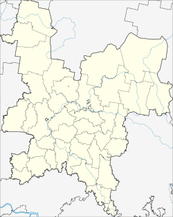
Belaya Cholunitsa
| city
Belaya Cholunitsa
Белая Холуница
|
||||||||||||||||||||||||||||||||||||||||||
|
||||||||||||||||||||||||||||||||||||||||||
|
||||||||||||||||||||||||||||||||||||||||||
| List of cities in Russia | ||||||||||||||||||||||||||||||||||||||||||
Belaja Choluniza ( Russian Бе́лая Холуни́ца ) is a city in Kirov Oblast ( Russia ) with 11,232 inhabitants (as of October 14, 2010).
geography
The city is located about 75 km northeast of the Oblast capital Kirov on the Belaya Cholunitsa , a left tributary of the Vyatka . The place is at an altitude of 135 to 160 m .
Belaya Choluniza is the administrative center of the Rajon of the same name .
history
The place arose with the construction of the Nowotroizki Cholunizki Sawod ironworks in 1764, initially as Cholunizki , later Belocholunizki , and received city rights in 1965 under the current name.
Population development
| year | Residents |
|---|---|
| 1939 | 6,787 |
| 1959 | 10,407 |
| 1970 | 12,275 |
| 1979 | 13,021 |
| 1989 | 13,367 |
| 2002 | 11,975 |
| 2010 | 11,232 |
Note: census data
Individual evidence
- ↑ a b Itogi Vserossijskoj perepisi naselenija 2010 goda. Tom 1. Čislennostʹ i razmeščenie naselenija (Results of the All-Russian Census 2010. Volume 1. Number and distribution of the population). Tables 5 , pp. 12-209; 11 , pp. 312–979 (download from the website of the Federal Service for State Statistics of the Russian Federation)
Web links
Commons : Belaja Cholunitsa - Collection of pictures, videos and audio files
- Rajons website (Russian)
- Belaja Cholunitsa on mojgorod.ru (Russian)
- City unofficial website (Russian)


