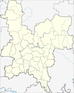
Afanassjewo (Kirov)
| Urban-type settlement
Afanassjewo
Афанасьево
|
||||||||||||||||||||||||||||||||
|
||||||||||||||||||||||||||||||||
|
||||||||||||||||||||||||||||||||
Afanassjewo ( Russian Афана́сьево ) is an urban-type settlement in the Kirov Oblast in Russia with 3435 inhabitants (as of October 14, 2010).
geography
The place is a good 200 km as the crow flies east of the Kirov Oblast Administrative Center on the right bank of the Kama .
Afanassjewo is the administrative center of the Afanassjewski Rajons and the seat and only locality of the municipality Afanassjewskoje gorodskoje posselenije.
history
The place was first mentioned in 1607, then in 1730 with the construction of the Athanasius Church there; the place is named after the Russian form of the name Afanassi . Alternatively, the names Sjusdino or Sjusdinskoje were in use, after the Russian name of an ethnic group of the Komi-Permyak , which is still located in the Rajon today. From the end of the 18th century the village belonged to the Ujesd Glasow of the Vyatka Governorate .
On June 10, 1929 Afanassjewo was the administrative seat of a newly created, initially named Sjusdinski Rajons. In 1963 the Rajon got its current name after its administrative seat, and on July 11, 1966 the place received the status of an urban-type settlement.
Population development
| year | Residents |
|---|---|
| 1939 | 1088 |
| 1959 | 1922 |
| 1970 | 3755 |
| 1979 | 4375 |
| 1989 | 4982 |
| 2002 | 3474 |
| 2010 | 3435 |
Note: census data
traffic
Afanassjewo is on the regional road 33R-003, which leads from Kirov via Omutninsk to the border of the Perm region a good 30 km southeast, from there as 57K-0057 to the federal highway A153 Nytwa - Kudymkar . Not far from the settlement, the 33K-007 branches off to the 50 km south border with the Udmurt Republic, from there towards Glasow.
The closest train station, Stalnaya, is located a good 60 km southwest in Omutninsk on the Jar - Lesnoi line , a branch of the Trans-Siberian Railway .
Web links
Individual evidence
- ↑ a b Itogi Vserossijskoj perepisi naselenija 2010 goda. Tom 1. Čislennostʹ i razmeščenie naselenija (Results of the All-Russian Census 2010. Volume 1. Number and distribution of the population). Tables 5 , pp. 12-209; 11 , pp. 312–979 (download from the website of the Federal Service for State Statistics of the Russian Federation)

