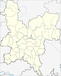
Jurja
| Urban-type settlement
Jurja
Юрья
|
||||||||||||||||||||||||||||||
|
||||||||||||||||||||||||||||||
|
||||||||||||||||||||||||||||||
Jurja ( Russian Юрья́ ) is an urban-type settlement in the Kirov Oblast in Russia with 5668 inhabitants (as of October 14, 2010).
geography
The place is a good 50 km as the crow flies north-northwest of the Kirov Oblast Administrative Center . It is located on the left bank of the eponymous river Jurja, a little above its confluence with the right Vyatka creek Velikaya .
Jurja is the administrative center of the Rajons Jurjanski and seat and only town of the municipality Jurjanskoje gorodskoje posselenije.
history
The place arose from 1898, when a station named after the river was built there during the construction of the Perm - Vyatka - Kotlas railway . The name comes from Komi Syrian ( jur stands for "head (end)").
In 1958 the place received the status of an urban-type settlement. On January 12, 1965 Jurja became the administrative seat of a newly created Rajons named after him.
On July 14, 1992, the secret military settlement with the camouflage name Jurja-2 , which was built from 1959 to the north, was spun off as an independent settlement (from 1994 under the name Pervomaiski ).
Population development
| year | Residents | comment |
|---|---|---|
| 1939 | 2.151 | |
| 1959 | 5,217 | |
| 1970 | 8,225 | with Jurja-2 (today Perwomaiski ) |
| 1979 | 10.193 | with Jurja-2 |
| 1989 | 14,821 | with Jurja-2 |
| 2002 | 6,169 | for comparison: 15,469 with Perwomaiski |
| 2010 | 5,668 | for comparison: 11,815 with Perwomaiski |
Note: census data
traffic
Jurja has a train station at kilometer 67 of the Kirov - Kotlas railway line opened in 1899. In the neighboring Pervomaiski and further in a north-easterly direction there is a freight connection line serving military purposes .
A few kilometers west of the settlement the federal trunk road R176 Vyatka runs from Cheboksary via Yoshkar-Ola and Kirow to Syktyvkar .
Web links
Individual evidence
- ↑ a b Itogi Vserossijskoj perepisi naselenija 2010 goda. Tom 1. Čislennostʹ i razmeščenie naselenija (Results of the All-Russian Census 2010. Volume 1. Number and distribution of the population). Tables 5 , pp. 12-209; 11 , pp. 312–979 (download from the website of the Federal Service for State Statistics of the Russian Federation)

