Pervomaiski (Kirov)
| Urban-type settlement
Pervomaisky
Pervomaya
|
||||||||||||||||||||||||||||||||||||||||
|
||||||||||||||||||||||||||||||||||||||||
|
||||||||||||||||||||||||||||||||||||||||
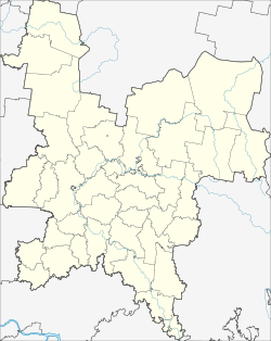
Pervomaiski ( Russian Первома́йский ) is a "closed" urban-type settlement in the Kirov Oblast in Russia with 6147 inhabitants (as of October 14, 2010).
geography
The village is just 60 km straight line north-northwest of Oblastverwaltungszentrums Kirov on the right bank of the river Jurja, a few kilometers above its confluence with the right Vyatka creek Velikaya .
Perwomaiski is the only town that forms the closed administrative-territorial entity (SATO) of the same name with the status of an urban district . This covers an area that formerly mainly formed the northeastern part of the Jurjanski rajon to the border with the Komi Republic . The administrative seat of the Rajons, the urban-type settlement of Jurja , is a good two kilometers south of Pervomaiski.
history
The place was created in 1959 in connection with the stationing of units of the Strategic Missile Forces of the Soviet Union and the construction of various military objects in an almost 1000 km² de facto unpopulated part of Kirov Oblast. He was given the cover name Jurja -2. In 1960 the 8th Missile Division of the Soviet Army was formed there.
On July 14, 1992, the territory with the associated military settlements was declared a closed administrative-territorial entity and urban district. The main settlement Jurja-2 received the status of an urban-type settlement in 1994 under its current name, derived from the Russian Pervoje Maja for " May Day ". Another town subordinated to the administration of the urban district , Oktjabrski (formerly Jurja-3 ), located about 30 km to the east as the crow flies on the territory of the Slobodskoi rajon , was abandoned and officially abandoned by 2003 after the division of the local troops there.
Population development
| year | Residents |
|---|---|
| 2002 | 9300 |
| 2010 | 6147 |
Note: census data
traffic
There is a railway connection in the nearby Jurja settlement, where there is a train station on the Kirov - Kotlas line, which was opened in 1899 . After Pervomaiski and further in a north-easterly direction there is a freight connecting line serving military purposes .
The federal trunk road R176 Vyatka runs a few kilometers west of Jurja from Cheboksary via Yoshkar-Ola and Kirov to Syktyvkar .
Web links
Individual evidence
- ↑ a b Itogi Vserossijskoj perepisi naselenija 2010 goda. Tom 1. Čislennostʹ i razmeščenie naselenija (Results of the All-Russian Census 2010. Volume 1. Number and distribution of the population). Tables 5 , pp. 12-209; 11 , pp. 312–979 (download from the website of the Federal Service for State Statistics of the Russian Federation)


