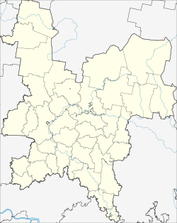
Suna (Kirov)
| Urban-type settlement
Suna
Sun
|
||||||||||||||||||||||||||||||||
|
||||||||||||||||||||||||||||||||
|
||||||||||||||||||||||||||||||||
Suna ( Russian Суна́ ) is an urban-type settlement in Kirov Oblast in Russia with 2199 inhabitants (as of October 14, 2010).
geography
The place is located about 90 km as the crow flies south-southeast of the Kirov Oblast Administrative Center . It is located on the eponymous river Suna , which flows over the Woja to the Vyatka .
Suna is the administrative center Rajons Sunski and seat of the municipality posselenije Sunskoje gorodskoje, also manages the world almost immediately southwest subsequent village Toskui to.
history
The place was founded in 1650 and initially called Vosnesenskoje-na-Sune (Vosnesenskoje an der Suna) . The current form has been in use since 1780. From this time the village belonged to the Ujesd Nolinsk of the Vyatka Governorate .
On July 10, 1929, Suna became the administrative seat of a newly created Rajons named after him. From November 14, 1959 to February 14, 1968, the Rajon was temporarily dissolved. Since January 26, 1971 the place has the status of an urban-type settlement.
Population development
| year | Residents |
|---|---|
| 1926 | 273 |
| 1939 | 1664 |
| 1970 | 2624 |
| 1979 | 3469 |
| 1989 | 3559 |
| 2002 | 2475 |
| 2010 | 2199 |
Note: census data
traffic
The regional road 33R-002, which begins not far from the Oblast center Kirov, runs through Suna, through the neighboring district center of Kumyony and further via the district centers of Nolinsk , Urschum and Malmysh to Vyatskije Polyany in the south .
The nearest train station is Posdino, about 75 km to the north, on the Trans-Siberian Railway in the southern part of Kirov, which was independent as the city of Novovyatsk until 1989 .
Web links
Individual evidence
- ↑ a b Itogi Vserossijskoj perepisi naselenija 2010 goda. Tom 1. Čislennostʹ i razmeščenie naselenija (Results of the All-Russian Census 2010. Volume 1. Number and distribution of the population). Tables 5 , pp. 12-209; 11 , pp. 312–979 (download from the website of the Federal Service for State Statistics of the Russian Federation)

