San José del Guaviare
| San José del Guaviare | ||
|---|---|---|
|
Coordinates: 2 ° 35 ′ N , 72 ° 38 ′ W San José del Guaviare on the map of Colombia
|
||
|
Location of the municipality of San José del Guaviare on the map of Guaviare
|
||
| Basic data | ||
| Country | Colombia | |
| Department | Guaviare | |
| City foundation | 1910 | |
| Residents | 68,878 (2019) | |
| City insignia | ||
| Detailed data | ||
| surface | 16.654 km 2 | |
| Population density | 1.07 inhabitants / km 2 | |
| height | 175 m | |
| Waters | Río Guaviare , Río Guayabero | |
| Time zone | UTC -5 | |
| City Presidency | Efraín Rivera Roldán (2016–2019) | |
| City patron | San Jose | |
| Website | ||
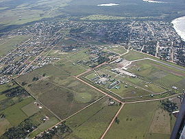
| View of San José del Guaviare | ||
San José del Guaviare is the capital and a sprawling municipality ( municipio ) in the Guaviare department in the eastern Andean foothills of Colombia , about 400 km southeast of the capital Bogotá .
geography
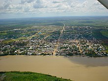
San José is the capital of the sparsely populated Guaviare department . The municipality is located in the north of Guaviare on the Río Guaviare and its upper reaches, the Río Guayabero . Its geographical coordinates are 2 ° 35 'North and 72 ° 38' West.
The municipality has 12 larger settlements and an area of around 16,500 km², which roughly corresponds to that of the whole of Thuringia . It extends in an east-west direction along the river for 300 km, but only about 30-60 km into the hinterland south of the Guaviare.
In a valley about 20 km upstream from San José, the Río Guaviare has violent rapids .
The municipality is bordered to the west by La Macarena in Meta , to the north by La Macarena, Vista Hermosa , Puerto Rico , Puerto Concordia and Mapiripán in Meta, to the east by Mapiripana in Guainía , to the south by Calamar and El Retorno .
population
The municipality of San José del Guaviare has 68,878 inhabitants, of which 48,877 live in the urban part (cabecera municipal) of the municipality (as of 2019).
history
The river banks in the region have been inhabited by indigenous peoples for centuries , as has the hinterland. At the beginning of the 20th century, the first settler colonies and farms emerged. The city of San José itself was built in 1910, dedicated to Saint Joseph and named after the river on which it lies. In 1976, San José del Guaviare received parish status. In 1991 the city became the capital of the newly founded Guaviare department.
economy
The main industries of San José del Guaviare are trade , cattle production and agriculture .
traffic
San José has the only airport in the department, but no rail connection. The paved road coming from Bogotá and the northern neighboring partamento Meta crosses the Guayabero at the settlement of Puerto Arturo and goes 80 km to the south to the neighboring municipality of Calamar . In addition, the river transport into the interior of the department plays an important role.
Web links
- Alcaldía San José del Guaviare. Alcaldía de San José del Guaviare - Guaviare, accessed on March 25, 2019 (Spanish, website of the municipality).
- Video of tourist places around San José del Guaivare
Individual evidence
- ↑ ESTIMACIONES DE POBLACIÓN 1985 - 2005 Y PROYECCIONES DE POBLACIÓN 2005 - 2020 TOTAL DEPARTAMENTAL POR ÁREA. (Excel; 1.72 MB) DANE, May 11, 2011, accessed on March 25, 2019 (Spanish, extrapolation of the population of Colombia).
- ↑ a b c Nuestro municipio. Alcaldía de San José del Guaviare - Guaviare, accessed March 25, 2019 (Spanish, information about the municipality).


