Točník
| Točník | ||||
|---|---|---|---|---|
|
||||
| Basic data | ||||
| State : |
|
|||
| Region : | Středočeský kraj | |||
| District : | Beroun | |||
| Area : | 538.6804 ha | |||
| Geographic location : | 49 ° 53 ' N , 13 ° 53' E | |||
| Height: | 345 m nm | |||
| Residents : | 239 (Jan. 1, 2019) | |||
| Postal code : | 267 51 | |||
| License plate : | S. | |||
| structure | ||||
| Status: | local community | |||
| Districts: | 1 | |||
| administration | ||||
| Mayor : | Petr Mol (as of 2013) | |||
| Address: | Točník 57 267 51 Zdice |
|||
| Municipality number: | 534463 | |||
| Website : | www.tocnik-obec.com | |||
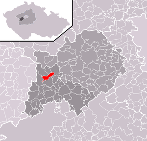
| Location of Točník in the Beroun district | ||||

|
||||
Točník (German Totschnik , older also Tolznik , Tetznick ) is a Czech municipality with about 250 inhabitants in the Křivoklátsko protected landscape area and the protected area of the Beggar and Totschnik castles . The community is divided by rocks into Předskalí (fore rock) towards the town of Žebrák and Záskalí (back rock ) towards Křivoklát .
history
The history of the place is closely linked to that of the castles. The settlement took place from the second half of the 13th century. After the fire at the Beggar Castle, the place was integrated into the newly built castle under the rule of Wenceslas IV .
Artificial ponds were created in the area from the 15th century, and later handicraft businesses, a mill, a brewery and two brickworks were established. After the Thirty Years War , agriculture and pond farming, wood and ore mining developed in the village.
Attractions
- Žebrák Castle
- Točník Castle
- Private brewery under the Žebrák Castle
- Chapel of John of Nepomuk

