Podgorny (Krasnoyarsk, Zheleznogorsk)
| Urban-type settlement
Podgorny
Подгорный
|
||||||||||||||||||||||||||||||||||||||
|
||||||||||||||||||||||||||||||||||||||
|
||||||||||||||||||||||||||||||||||||||
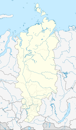
Podgorny ( Russian Подго́рный ) is an urban-type settlement in the Krasnoyarsk Territory .
The settlement belongs to the " closed " urban district (SATO) Schelesnogorsk and is located 15 km south-southwest of Schelesnogorsk, almost 40 km northeast of the center of Krasnoyarsk and 6 km east of the city of Sosnovoborsk . The population increased from 6,164 to 6,760 between 2002 and 2010.
The settlement was built from 1953 and initially had the cover name Krasnoyarsk-35. In 1994 it was given the status of an urban-type settlement under its current name. On July 1, 2008, despite belonging to the urban district of the still closed Zhelesnogorsk, the access restrictions for the Podgorny settlement were lifted.
There is a road connection to the regional road 04N-374 Krasnoyarsk - Zheleznogorsk , which runs 6 km to the northwest and follows the Yenisei .
To the south of the village is the local chemical plant for rocket technology, which was built in 1958 and has been in operation since 1961.
Sons of the place
- Vitaly Evdokimow (* 1980), ice hockey goalkeeper
- Andrei Schepelenko (* 1980), ice hockey player
Web links
Individual evidence
- ↑ a b Itogi Vserossijskoj perepisi naselenija 2010 goda. Tom 1. Čislennostʹ i razmeščenie naselenija (Results of the All-Russian Census 2010. Volume 1. Number and distribution of the population). Tables 5 , pp. 12-209; 11 , pp. 312–979 (download from the website of the Federal Service for State Statistics of the Russian Federation)


