Krasnoturansk
| Village
Krasnoturansk
Краснотуранск
|
||||||||||||||||||||||||||||||||||
|
||||||||||||||||||||||||||||||||||
|
||||||||||||||||||||||||||||||||||
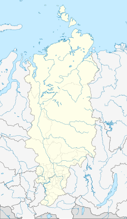
Krasnoturansk ( Russian Краснотура́нск ) is a village (selo) in the Krasnoyarsk region in Russia with 5790 inhabitants (as of October 14, 2010).
geography
The place is a good 200 km as the crow flies south-southwest of the regional administrative center of Krasnoyarsk . It is located on the right bank of the Krasnoyarsk reservoir of the Yenisei , on the bay formed by the Syda which flows into it. The reservoir marks the border with the Republic of Khakassia there .
Krasnoturansk administrative center is the Rajons Krasnoturanski and seat and only town in the rural community (selskoje posselenije) Krasnoturanski selsowet.
history
The village emerged from an Ostrog not far from the confluence of the Syda in the Yenisei in 1707 . On the orders of Peter I , this should actually be built at the mouth of the Abakan about 70 km further south as a replacement for a fortification built in 1675 and later abandoned not far from today's Khakass capital Abakan . Since this location seemed unfavorable for various reasons, a location much further downstream was chosen, but the name Abakanski ostrog was retained. In the course of the 18th century, the derived name Abakanskoje became common for the village that developed around the Ostrog . In 1827 it became the seat of a Volost .
On April 4, 1924, the village became the administrative seat of a Rajons named after him as Abakanski rajon . In connection with the emergence of the city of Abakan from the end of the 1920s, in 1933, to avoid confusion, Abakanskoje was renamed Krasnoturanskoje, from Russian krasno- for “ red ” and Turan, the name of a mountain in the area. The Rajon was also renamed accordingly.
With the flooding of the Krasnoyarsk reservoir in the 1960s, the village came under its water level and was therefore rebuilt in advance at a higher point a good 10 km southeast of the old location. Its founding year is 1962, with the name shortened to its current form.
Population development
| year | Residents |
|---|---|
| 1897 | 1377 |
| 1939 | 4466 |
| 1959 | 3674 |
| 1970 | 4908 |
| 1979 | 5242 |
| 1989 | 6882 |
| 2002 | 5937 |
| 2010 | 5790 |
Note: census data
traffic
The regional road 04K-548 leads to Krasnoturansk, which branches off almost 20 km east of the 04K-028. This begins a good 70 km south at Minussinsk on the federal trunk road R257 Yenisei (formerly M54) from Krasnoyarsk via Abakan and the Tuvinian capital Kyzyl to the Mongolian border and follows the eastern side of the Krasnoyarsk reservoir to the village of Bellyk , from where there are connections to one There is a car ferry across the reservoir at the Novosjolowo district center, neighboring to the north . There the R257 is reached again. The nearest train station is in Minusinsk on the Novokuznetsk - Abakan - Taischet highway in South Siberia .
To the west of the village is an airport ( ICAO code UNAT ), which has been out of service since the 1990s.
Sons and daughters of the place
- Viktor Simin (* 1962), politician
Web links
Individual evidence
- ↑ a b Itogi Vserossijskoj perepisi naselenija 2010 goda. Tom 1. Čislennostʹ i razmeščenie naselenija (Results of the All-Russian Census 2010. Volume 1. Number and distribution of the population). Tables 5 , pp. 12-209; 11 , pp. 312–979 (download from the website of the Federal Service for State Statistics of the Russian Federation)

