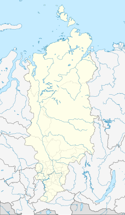
Novobiriljussy
| Village
Nowobiriljussy
Новобирилюссы
|
||||||||||||||||||||||||||||||
|
||||||||||||||||||||||||||||||
|
||||||||||||||||||||||||||||||
Novobiriljussy ( Russian: Новобирилю́ссы ) is a village (selo) in the Krasnoyarsk region in Russia with 4141 inhabitants (as of October 14, 2010).
geography
The place is about 170 km as the crow flies northwest of the regional administrative center Krasnoyarsk in the Chulym Plain in the extreme southeast of the West Siberian lowlands . It is located on the right bank of the Ob tributary Chulym at the confluence of the small right tributary Kotschetat.
Novobiriljussy is the administrative center of Biriljusski Rajons and the seat of the rural community (selskoje posselenije) Novobiriljusski selsowet, which also includes the villages of Staraya Jelowka (6 km south) and Shutochkino (10 km south).
history
After the founding of the Biriljusski rajon on April 4, 1924, its administrative seat was in the village of Biriljussy, 20 km north, also on the right bank of the Chulym, which has been known since the 18th century . Because of the virtually annual floods of the Chulym, after a particularly serious flood in 1966, the decision was made to relocate the Rajon center to a more favorable location near the village of Tschipuschowo, the seat of the Kochetatski selovet (village soviet). On April 28, 1967 the place was named Novobiriljussy ("New Biriljussy"), after Chulymsk - after the river - had been proposed; the village soviet was also renamed accordingly on March 13, 1968. The construction of the new settlement was essentially completed by 1970, and most of the residents were relocated from Biriljussy (this had 2,755 inhabitants in 1959, 49 in 2010). After the district administration had already been transferred to Novobiriljussy in 1968, the village officially became a district center with a decision of the regional administration in 1969 and confirmation by the Supreme Soviet of the RSFSR on February 8, 1971.
Population development
| year | Residents |
|---|---|
| 1970 | 2546 |
| 1979 | 4022 |
| 1989 | 5039 |
| 2002 | 4342 |
| 2010 | 4141 |
Note: census data
traffic
The village is on the 04K-002 regional road, which begins almost 80 km south of Achinsk on the R255 federal highway from Novosibirsk to Irkutsk and runs through the neighboring district of Bolshoi Ului , from Novobiriljussy further down the Chulym to Biriljussy. In an easterly direction, a road leads to the nearest railway station Ulanowoje , about 40 km away, near the village of Ulanowo on the route from Achinsk on the Trans-Siberian Railway to Lessosibirsk .
To the north of the village there is a small airfield ( ICAO code UNQL ) that has been out of service since the 1990s.
Web links
Individual evidence
- ↑ a b Itogi Vserossijskoj perepisi naselenija 2010 goda. Tom 1. Čislennostʹ i razmeščenie naselenija (Results of the All-Russian Census 2010. Volume 1. Number and distribution of the population). Tables 5 , pp. 12-209; 11 , pp. 312–979 (download from the website of the Federal Service for State Statistics of the Russian Federation)
- ↑ Article ( page no longer available , search in web archives ) Info: The link was automatically marked as defective. Please check the link according to the instructions and then remove this notice. in the Novy Put Rajon newspaper on May 14, 2014 (Russian)

