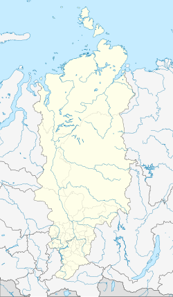
Yermakovskoye
| Village
Yermakovskoye
Ermakovsky
|
||||||||||||||||||||||||||||||||
|
||||||||||||||||||||||||||||||||
|
||||||||||||||||||||||||||||||||
Jermakowskoje ( Russian Ермаковское ) is a village (selo) in the Krasnoyarsk region in Russia with 8557 inhabitants (as of October 14, 2010).
geography
The place is a good 300 km as the crow flies south of the regional administration center Krasnoyarsk and almost 70 km southeast of Minussinsk on the northern edge of the Western Sayan . It is located on the left bank of the right Yenisei tributary Oja , about 7 km above the confluence of its right tributary Kebesch .
Jermakowskoje is the administrative center Rajons Jermakowski and seat of the rural community selsowet (selskoje posselenije) Jermakowski, which also includes the village Nikolaevka (5 km northwest) and the settlements Nowoosjorny (4 km south) (km east 3) include and Pessotschny.
history
The village of Ort was founded in 1862 by resettlers from the European part of the Russian Empire . In the 19th century it was a place of exile for political prisoners; For example, the social democrat Anatoly Vaneyev died there in 1899 . On April 4, 1924, Yermakovskoye became the administrative seat of a Rajons named after him. At times (for example in the data of the 1939 census) the name Yermakowo was also in use.
Population development
| year | Residents |
|---|---|
| 1897 | 1996 |
| 1939 | 5386 |
| 1959 | 6266 |
| 1970 | 7563 |
| 1979 | 8261 |
| 1989 | 9494 |
| 2002 | 9051 |
| 2010 | 8557 |
Note: census data
traffic
Yermakovskoye is located on the federal trunk road R257 Yenisei (formerly M54) from Krasnoyarsk via the Khakass capital Abakan on via the Tuvan capital Kyzyl to the Mongolian border.
The nearest train station is Minusinsk on the "South Siberian Main Line" Novokuznetsk - Abakan - Taischet .
Web links
Individual evidence
- ↑ a b Itogi Vserossijskoj perepisi naselenija 2010 goda. Tom 1. Čislennostʹ i razmeščenie naselenija (Results of the All-Russian Census 2010. Volume 1. Number and distribution of the population). Tables 5 , pp. 12-209; 11 , pp. 312–979 (download from the website of the Federal Service for State Statistics of the Russian Federation)

