Bolshoi Ului
| Village
Bolshoi Ului
Большой Улуй
|
||||||||||||||||||||||||||||
|
||||||||||||||||||||||||||||
|
||||||||||||||||||||||||||||
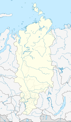
Bolshoi Ului ( Russian Большо́й Улу́й ) is a village (selo) in the Krasnoyarsk region in Russia with 3340 inhabitants (as of October 14, 2010).
geography
The place is about 160 km as the crow flies west-northwest of the regional administrative center Krasnoyarsk in the Chulym Plain in the extreme southeast of the West Siberian lowlands . It is located on the right bank of the Ob tributary Chulym at the confluence of the eponymous right tributary Bolshoi Ului (Großer Ului).
Bolschoi Ului is the management center Rajons Bolscheuluiski and seat the rural community selsowet (selskoje posselenije) Bolscheuluiski, (km 5 west, to the left of the Chulym) which also includes the villages Klimowka and Krasny Lug (6 km north-northeast) and the settlements Sosnovy Bor (4 km south-southwest ) and Tichi Rutschei (2 km south).
history
The village was founded in 1771 and named after the river that flows into it. In 1894 it became the seat of a Volost . From April 4, 1924, Bolshoi Ului was the first administrative seat of a Rajon named after him, but it was dissolved again in 1928. The Rajon has existed again since 1944, with an interruption from 1963 to 1965.
Population development
| year | Residents |
|---|---|
| 1859 | 594 |
| 1897 | 936 |
| 1959 | 3660 |
| 1970 | 4268 |
| 1979 | 4153 |
| 1989 | 4003 |
| 2002 | 3417 |
| 2010 | 3340 |
Note: from 1897 census data
traffic
The village is bypassed to the east by the regional road 04K-002, which begins almost 40 km south in Achinsk on the federal trunk road R255 from Novosibirsk to Irkutsk and continues down the Chulym from Bolshoi Ului via the neighboring district Novobiriljussy to the village of Biriljussy . In an easterly direction, the 04N-250 leads to the nearest Tajoschnaja train station, about 25 km away, at the Tajoschka settlement on the route from Achinsk on the Trans-Siberian Railway to Lessosibirsk . In the ice-free time, a pontoon bridge crosses the Chulym at Bolshoi Ului , via which the regional road 04K-018 leads to the villages of the Rajon west of the river and on towards Achinsk.
Web links
Individual evidence
- ↑ a b Itogi Vserossijskoj perepisi naselenija 2010 goda. Tom 1. Čislennostʹ i razmeščenie naselenija (Results of the All-Russian Census 2010. Volume 1. Number and distribution of the population). Tables 5 , pp. 12-209; 11 , pp. 312–979 (download from the website of the Federal Service for State Statistics of the Russian Federation)

