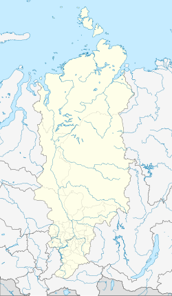
Ushur
| city
Ushur
Uzhur
|
||||||||||||||||||||||||||||||||||||||
|
||||||||||||||||||||||||||||||||||||||
|
||||||||||||||||||||||||||||||||||||||
| List of cities in Russia | ||||||||||||||||||||||||||||||||||||||
Ushur ( Russian Ужур ) is a city in the Krasnoyarsk region ( Russia ) with 16,093 inhabitants (as of October 14, 2010).
geography
The city lies on the southern edge of Nasarowoer sink in the so-called "Uschurer gate" between the northeastern foothills of the Kuznetsk Alatau and the further northeast trending Solgonrücken , about 300 kilometers southwest of the regional capital of Krasnoyarsk .
Ushur is the administrative center of the Ushur Rajon of the same name .
There is a weather station in Ushur.
history
The place was in 1760 as chaka Maltese village Uschurskoje founded, named after the flowing here Bach Uzhur (also Uschurka ) in the catchment area of Whether -Nebenflusses Chulym . In 1822 he became the administrative center of a Volost (about rural community) of the Okrug (district) Achinsk of the then Yenisisk Governorate .
In 1914 construction began on the Achinsk - Abakan railway line running through the village , which was provisionally completed during the First World War , but not finally until the 1920s due to delays and destruction in the Russian Civil War .
1953 Ushur received city status. Since the fall of the Soviet Union, the population has fallen sharply.
Population development
| year | Residents |
|---|---|
| 1939 | 14,114 |
| 1959 | 23,511 |
| 1970 | 24,533 |
| 1979 | 28,604 |
| 1989 | 28,376 |
| 2002 | 17,252 |
| 2010 | 16.093 |
Note: census data
Culture and sights
The Rajon Museum of Local History is located in the village of Slatorunovsk, a good 20 kilometers south. Not far southwest of this village is the small spa town of Utschum on the salt lake of the same name .
Economy and Infrastructure
In Ushur, as the center of an agricultural area, there are companies in the food industry.
It is located on the railway line Atschinsk-Abakan (kilometer 154) and the regional road R412 which the east extending highway M54 Krasnojarsk Abakan- Kysyl - Mongolian border with the mining town Sharypovo connects.
When about five kilometers southwest to " closed city " Solnetschny (formerly codenamed Uzhur-4 ) are intercontinental ballistic missiles of the type -18 SS "Satan" of the Strategic Rocket Forces of Russia stationed.
Individual evidence
- ↑ a b Itogi Vserossijskoj perepisi naselenija 2010 goda. Tom 1. Čislennostʹ i razmeščenie naselenija (Results of the All-Russian Census 2010. Volume 1. Number and distribution of the population). Tables 5 , pp. 12-209; 11 , pp. 312–979 (download from the website of the Federal Service for State Statistics of the Russian Federation)
Web links
- Basic data on mojgorod.ru (Russian)
- Brief profile of the city on the website of the Administration of the Krasnoyarsk Territory (Russian)


