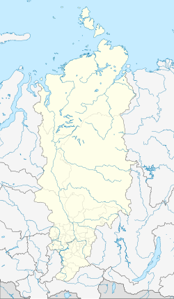
Dzerzhinskoye (Krasnoyarsk)
| Village
Dserschinskoje
Дзержинское
|
||||||||||||||||||||||||||||||||
|
||||||||||||||||||||||||||||||||
|
||||||||||||||||||||||||||||||||
Dzerzhinskoje ( Russian Дзержи́нское ) is a village (selo) in the Krasnoyarsk region in Russia with 7,374 inhabitants (as of October 14, 2010).
geography
The place is about 170 km as the crow flies northeast of the regional administrative center of Krasnoyarsk , east of the southern end of the Yenisei Ridge . He is on a river Ussolka who left Angara creek Taseyeva River flows.
Dserschinskoje is the administrative center Rajons Dzerzhinsky and seat of the rural community selsowet (selskoje posselenije) Dzerzhinsky, also (6 km northeast) and Ussolka (8 km southeast) belong to the villages Kedrowka.
history
The village goes back to a farm of the Cossack ataman Alexei Samoilow built in 1735 . Such farms were mainly called saimka in Siberia ; the place was therefore initially called Saimka . After the church, which was later built there, the name Christoroschdestvenskoje became established , from Russian Roschdestwo Christowo for the birth of Christ . In the 19th century the name was shortened to Roshdestvenskoje.
In 1931 the name was changed to Dzerzhinsky, after the Bolshevik and Cheka founder Felix Dzerzhinsky, who died in 1926 . Since December 7, 1934, the village has been the administrative seat of a Rajon named after him.
Population development
| year | Residents |
|---|---|
| 1897 | 1029 |
| 1939 | 3236 |
| 1959 | 4205 |
| 1970 | 7291 |
| 1979 | 8143 |
| 1989 | 9329 |
| 2002 | 7898 |
| 2010 | 7374 |
Note: census data
traffic
Dzerzhinskoye is bypassed immediately to the west by the regional road 04K-021 (formerly R410), which , coming from Kansk , continues via the neighboring Rajon center of Mugievo to Ustye at the confluence of the Ussolka in the Mugieva. Near Kansk there is a connection to the federal trunk road R255 Sibir (formerly M53) Novosibirsk - Irkutsk , there is also the nearest train station about 75 km south of Cupyeva on the Trans-Siberian Railway . From Mugjewo, the Ussolka first runs in a south-easterly direction and then its right tributary Aban up the 04K-001 to Aban , a good 50 km away , the neighboring Rajon center to the east.
Web links
Individual evidence
- ↑ a b Itogi Vserossijskoj perepisi naselenija 2010 goda. Tom 1. Čislennostʹ i razmeščenie naselenija (Results of the All-Russian Census 2010. Volume 1. Number and distribution of the population). Tables 5 , pp. 12-209; 11 , pp. 312–979 (download from the website of the Federal Service for State Statistics of the Russian Federation)

